Sydney Harbour Bridge Walk: Route, Access and Opera House Views
Sydney Harbour Bridge has a free pedestrian path between Milsons Point and The Rocks. We crossed from north to south in April 2026, stopping for Opera House views and a close look at the steel arch.
This article contains affiliate links. If you book through them, we may earn a commission at no extra cost to you. Our first-hand views are our own.
Walk direction, time and cost
The eastern pedestrian path is free to use and no ticket or reservation is needed. We walked south from Milsons Point so the Opera House, Circular Quay and city skyline appeared ahead and to our left as we crossed.
- Route
- Milsons Point to The Rocks
- Cost
- Free on the public pedestrian path
- Crossing time
- About 30 minutes without long stops
- Photo pace
- Allow 45–60 minutes
- Path location
- Eastern side of the bridge
- Step-free access
- Lifts at Broughton Street and Cumberland Street
The path may be affected by maintenance or exceptional events. Follow signs and temporary directions on the day rather than assuming every entrance will always operate normally.
Starting near Milsons Point Station
We crossed on 15 April 2026 after spending the morning around Milsons Point and Bradfield Park, then visiting Luna Park Sydney. Instead of taking the train back to central Sydney, we returned towards Milsons Point Station and continued to the bridge on foot.
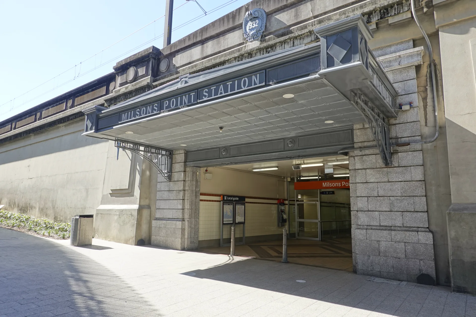
We passed through the station concourse but did not board a train. Instead, we used the nearby signs to continue towards the bridge on foot.
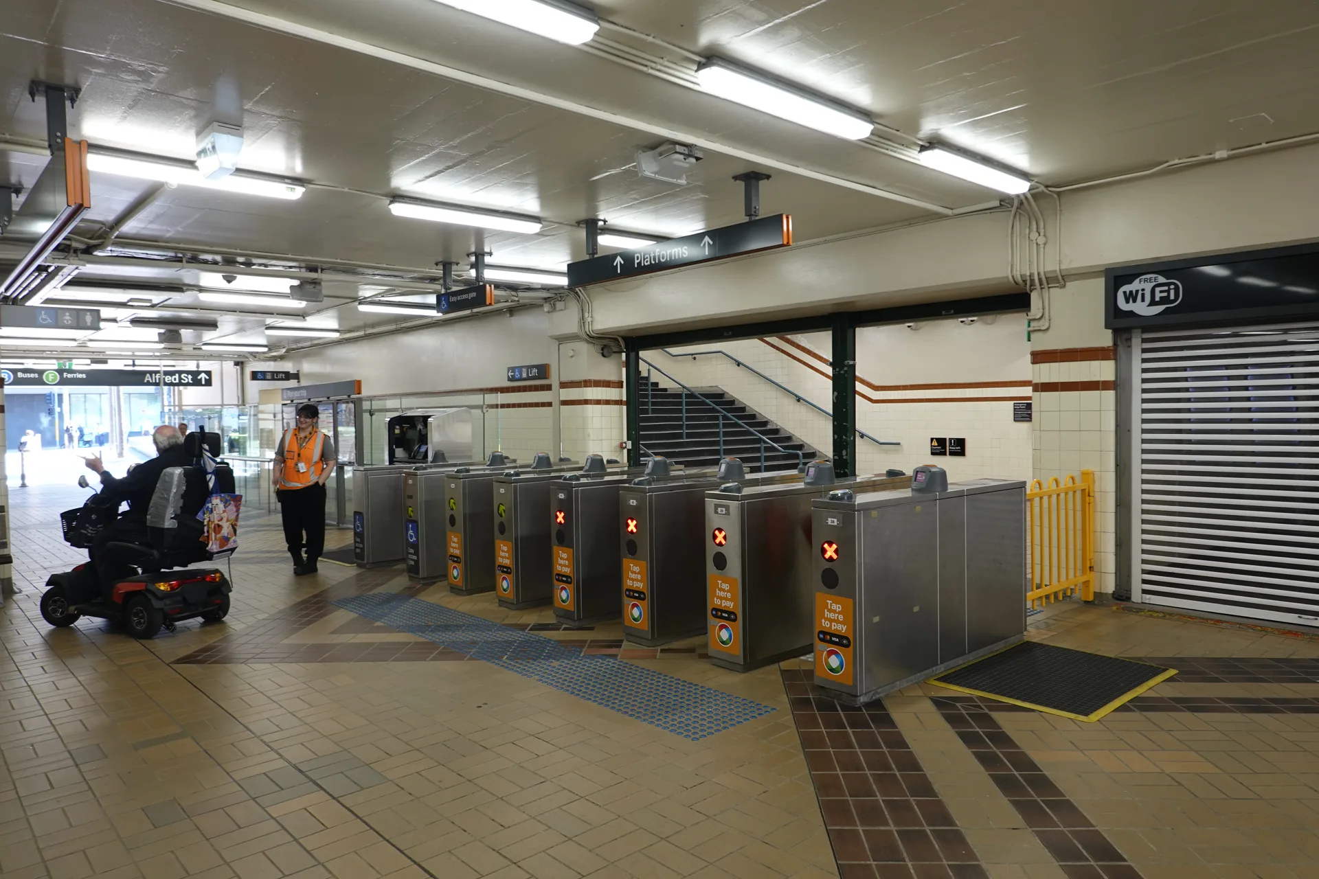
From the Ennis Road side of the station, follow Broughton Street towards the bridge. Signs around the station point towards the pedestrian walkway, but it helps to know that walkers use the eastern side and cyclists use the western side.
The northern pedestrian entrance is near 9 Broughton Street. Check its position on Google Maps before leaving the station.
Stairs and lifts at both ends
We used the stairs on the Milsons Point side. They rise beside the road towards bridge level, so the first part involves a steady climb before the crossing itself becomes almost level.
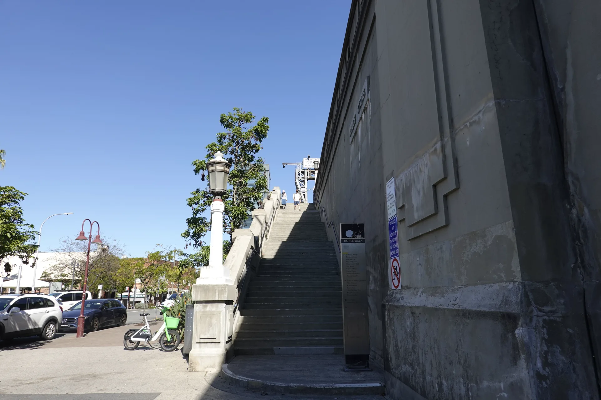
Lifts provide step-free access from Broughton Street at the northern end and Cumberland Street in The Rocks at the southern end. The Transport for NSW access plan identifies the stairs and lifts at both ends of the eastern footway.
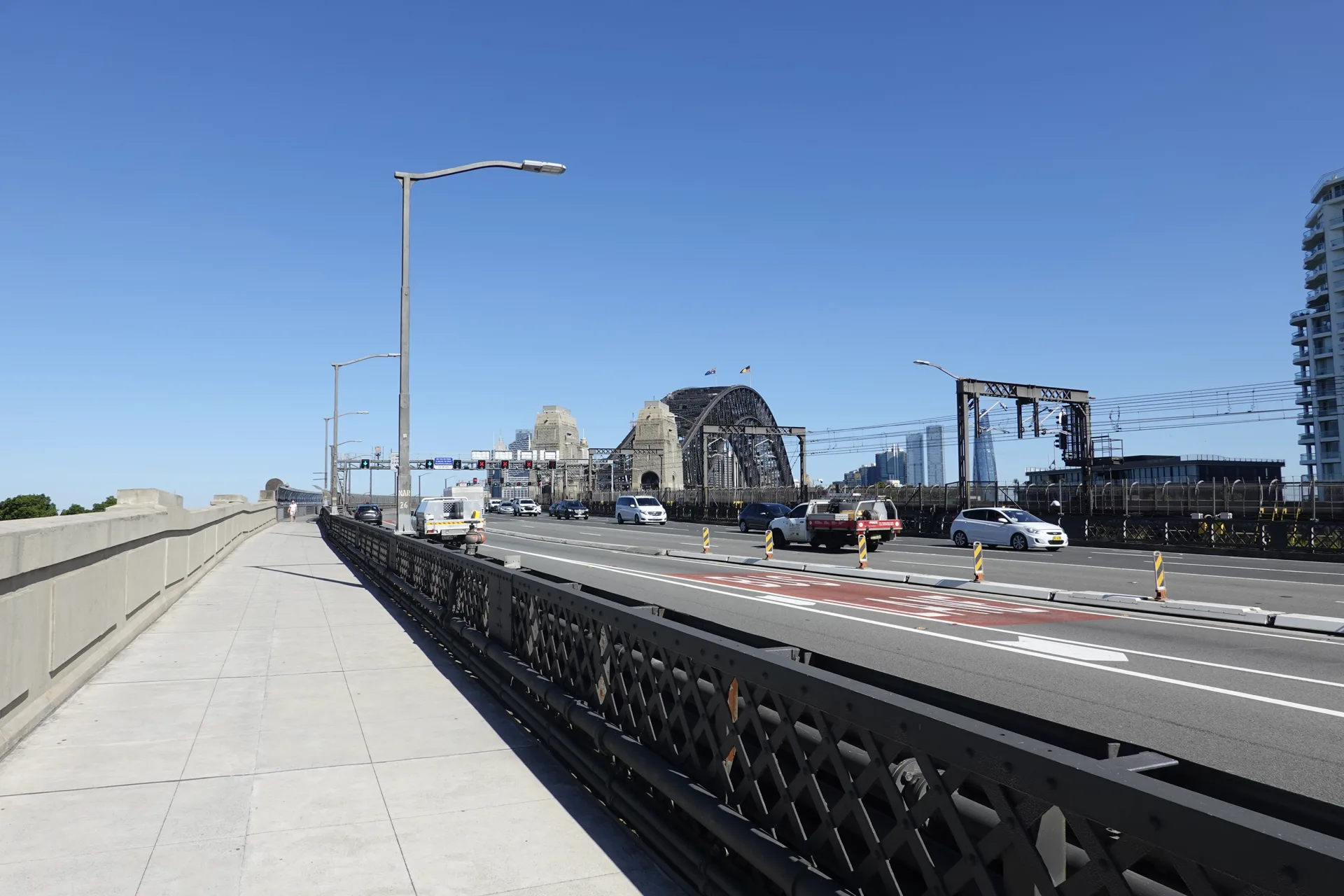
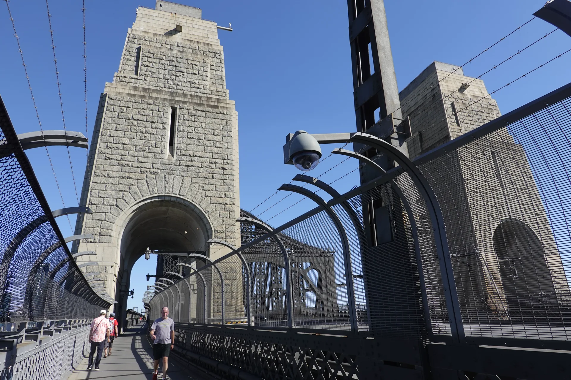
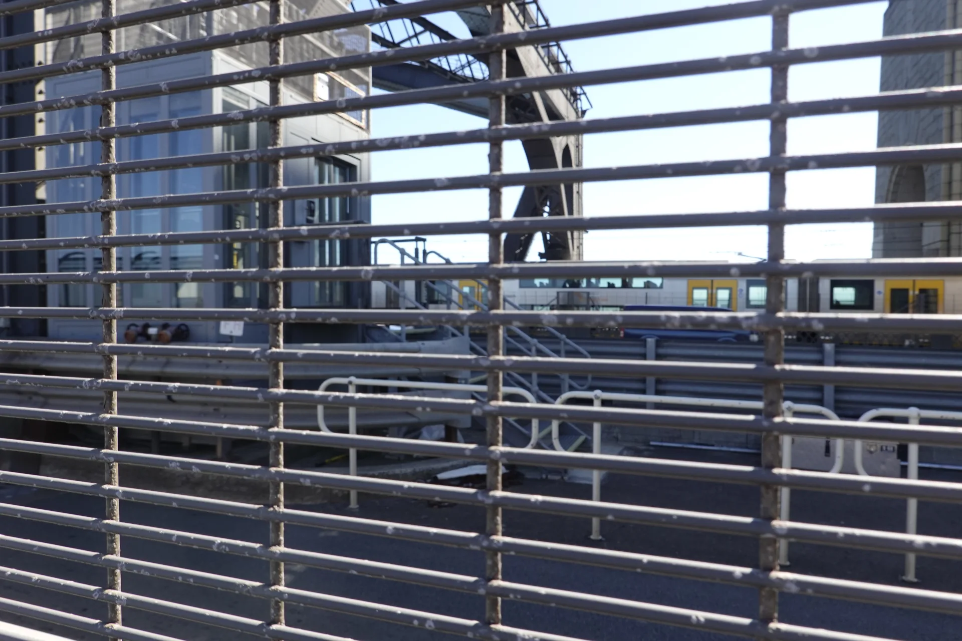
Once on the bridge, the route continues south beside the railway and road lanes. High fencing separates walkers from the edge and transport corridors.
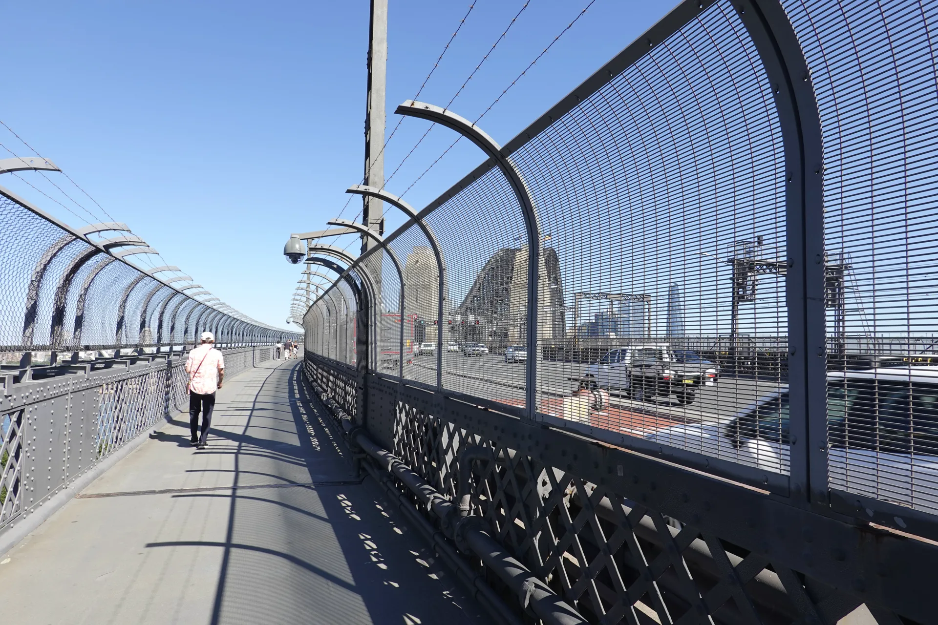
There is little shade for much of the crossing. Even in April, the sun felt strong, so we carried water and stopped where we could keep the path clear for other walkers.
Opera House and harbour views
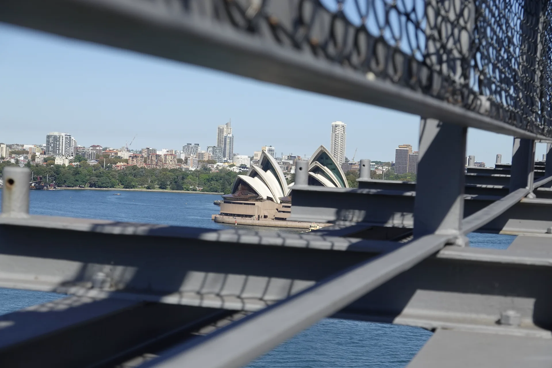
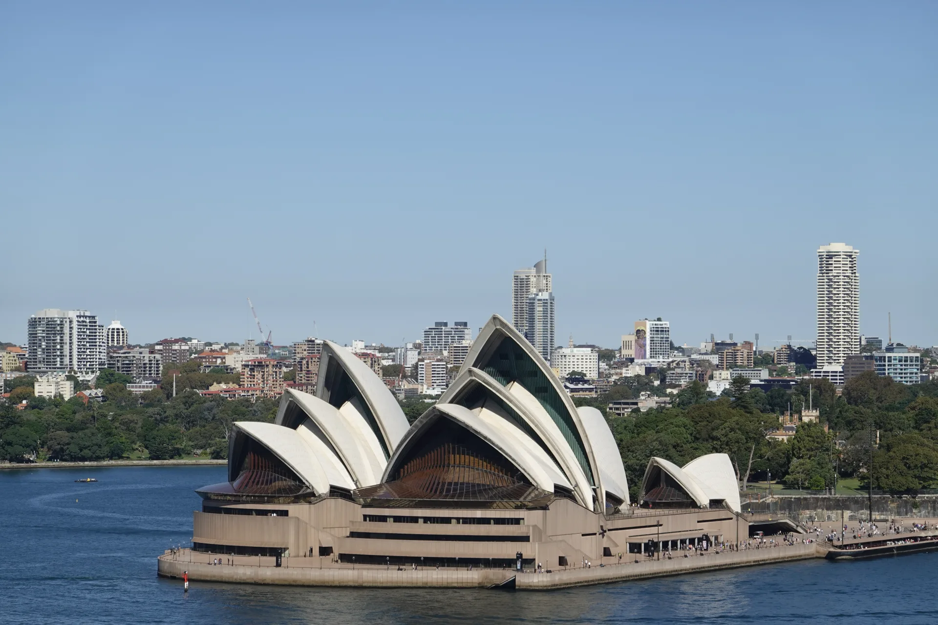
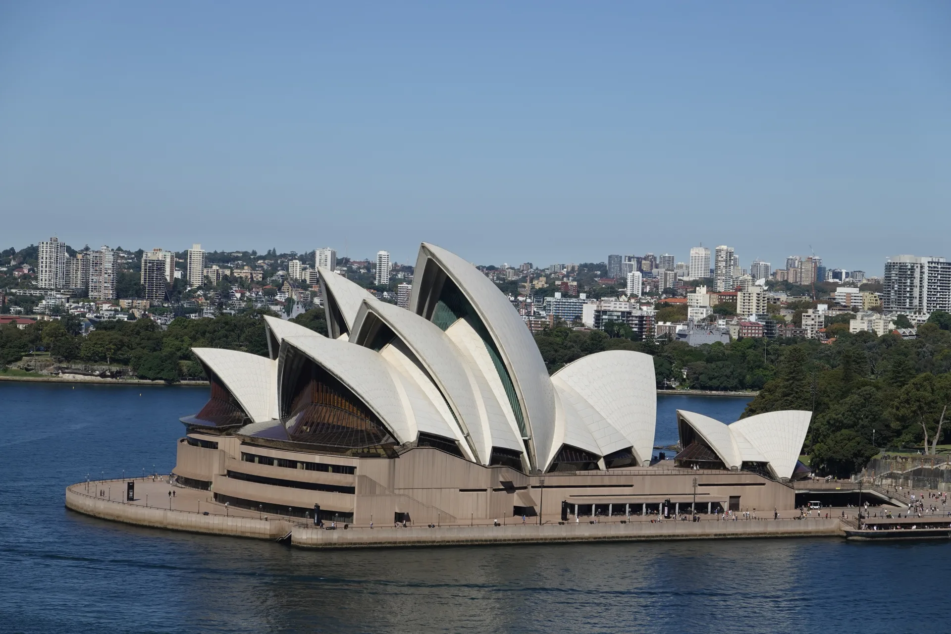
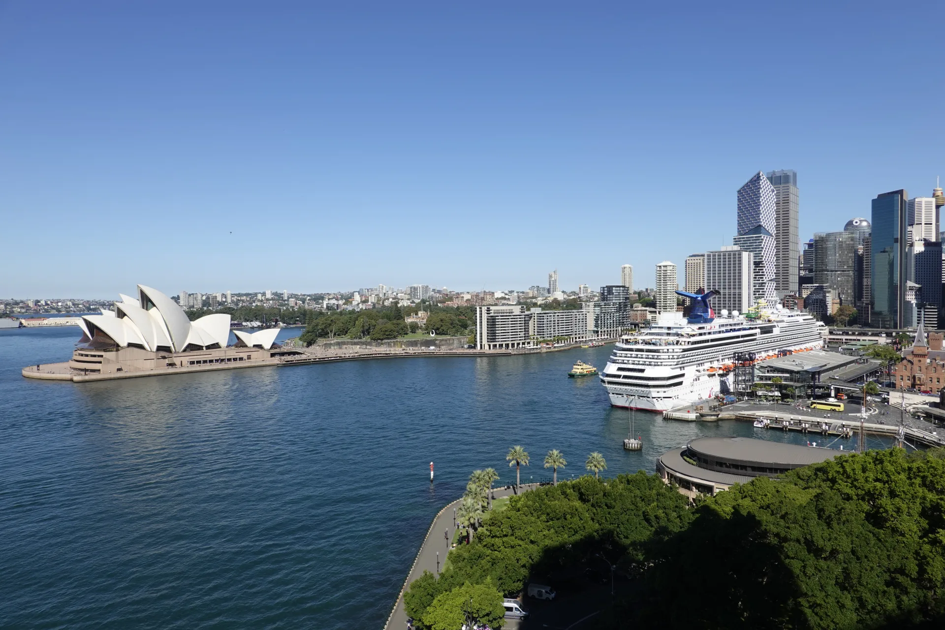
Walking from north to south placed the Opera House on our left. Its white roof forms appeared between the bridge railings and steelwork, then grew clearer as we moved towards the centre of the span.
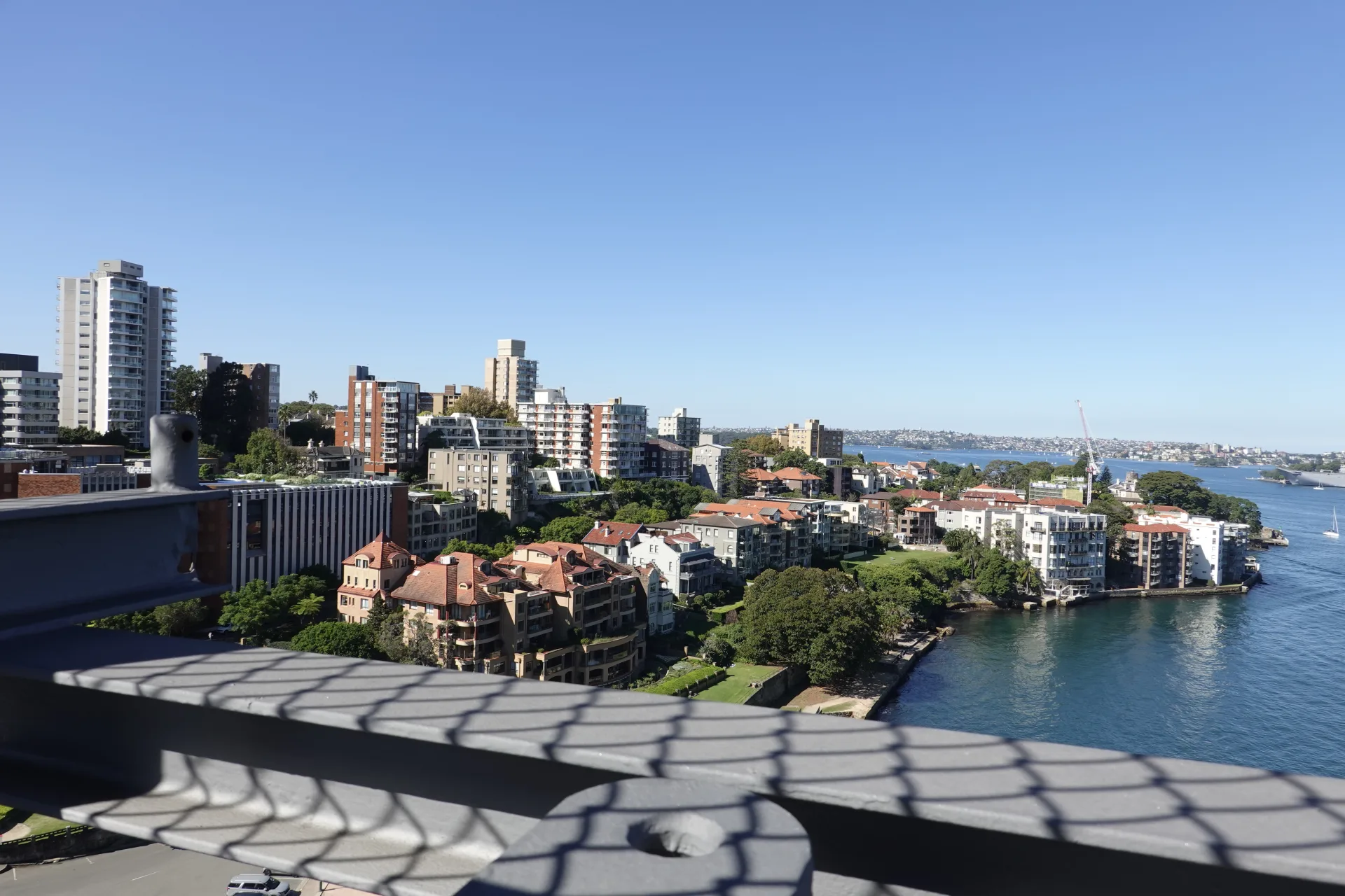
Looking back north revealed Kirribilli, Milsons Point and the waterfront below. Seeing the places we had walked earlier made the height and width of the harbour much more obvious.
Closer to mid-span, ferries and harbour cruises moved between Circular Quay and the open water. The previous evening's Sydney Harbour sightseeing cruise had shown the bridge from below; this time we could look down at the same water. Holding a phone or small camera close to the fence made it easier to photograph the view without the mesh dominating the frame.
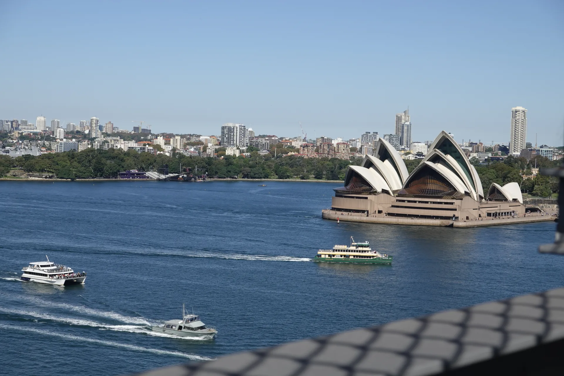
As the steelwork opened around us, the Opera House appeared closer and larger. We stopped at several gaps rather than relying on one viewpoint.
Walking beneath the steel arch
The granite-faced pylons appear structural from a distance, but they were built mainly to give the bridge a more imposing appearance. The steel arch carries the load behind them.

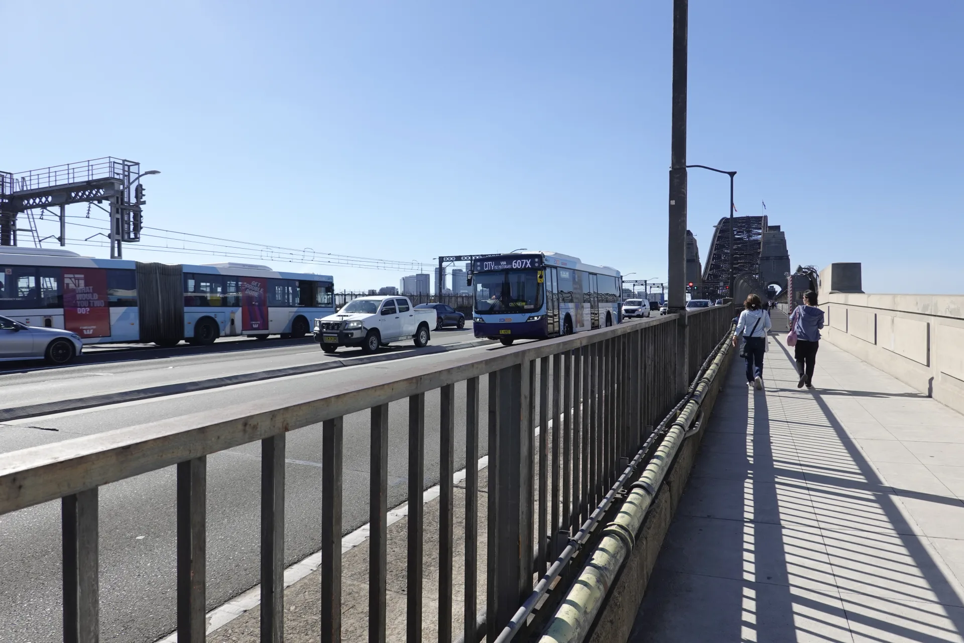
From the path, the single curve seen across the harbour becomes a dense assembly of large beams, smaller braces and rivets. Trains passed only a short distance away, while traffic moved across the lanes beyond.
Transport for NSW records that construction took eight years and the bridge opened on 19 March 1932. About 52,800 tonnes of steel and more than six million rivets were used across the arch and approach spans. The NSW heritage listing provides more detail about the structure and its significance.
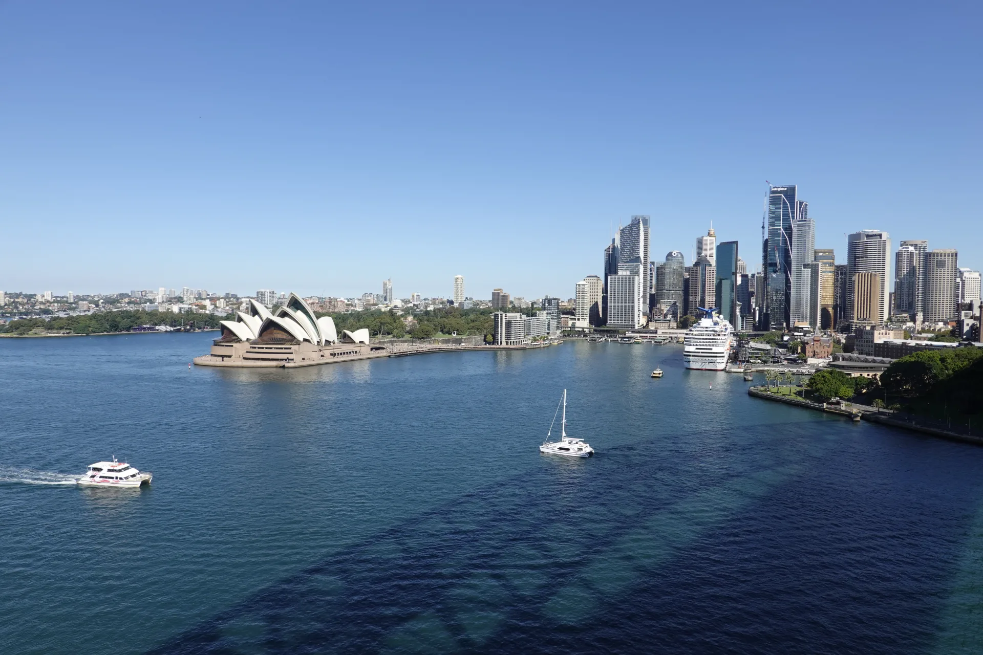
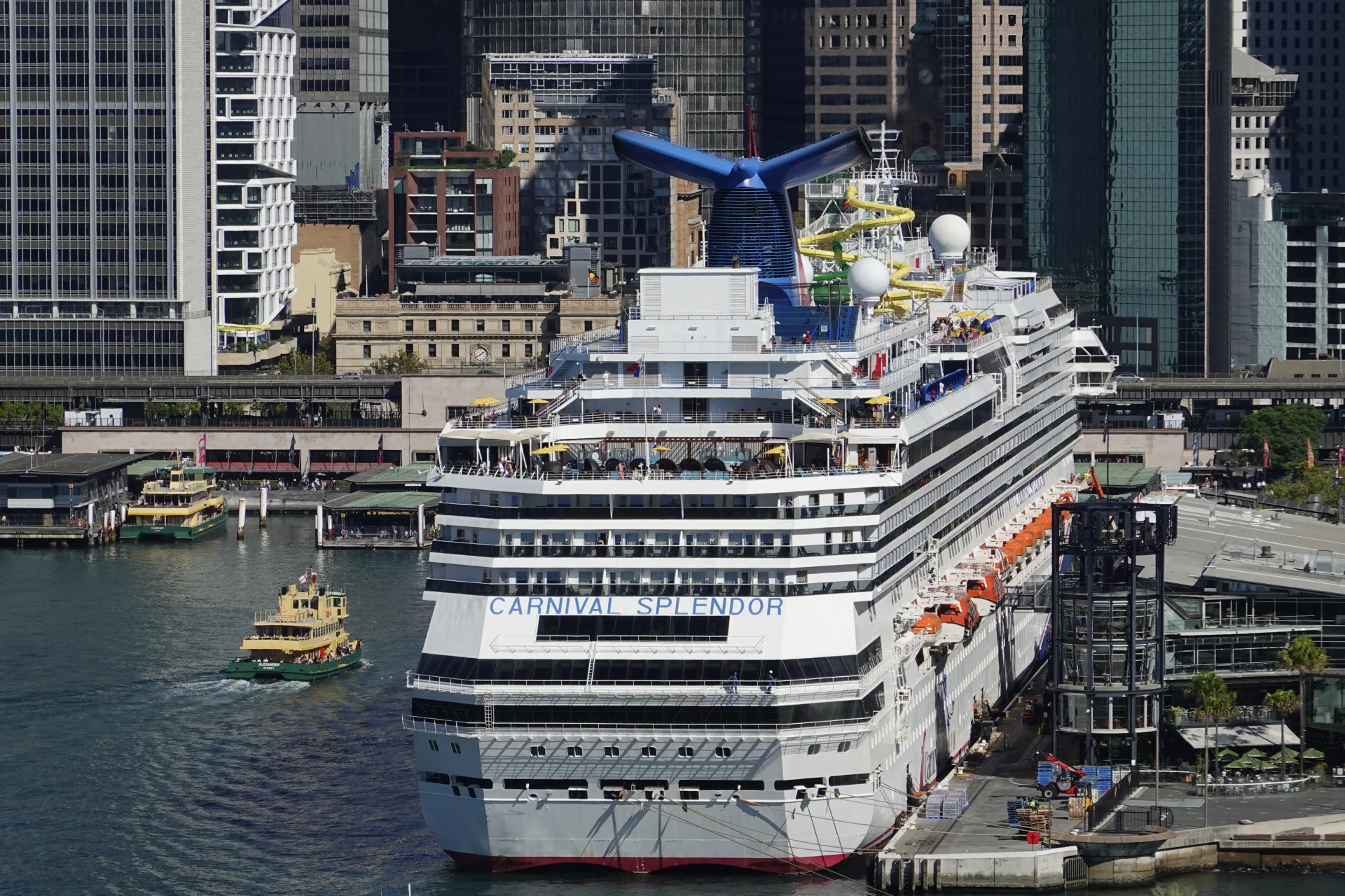
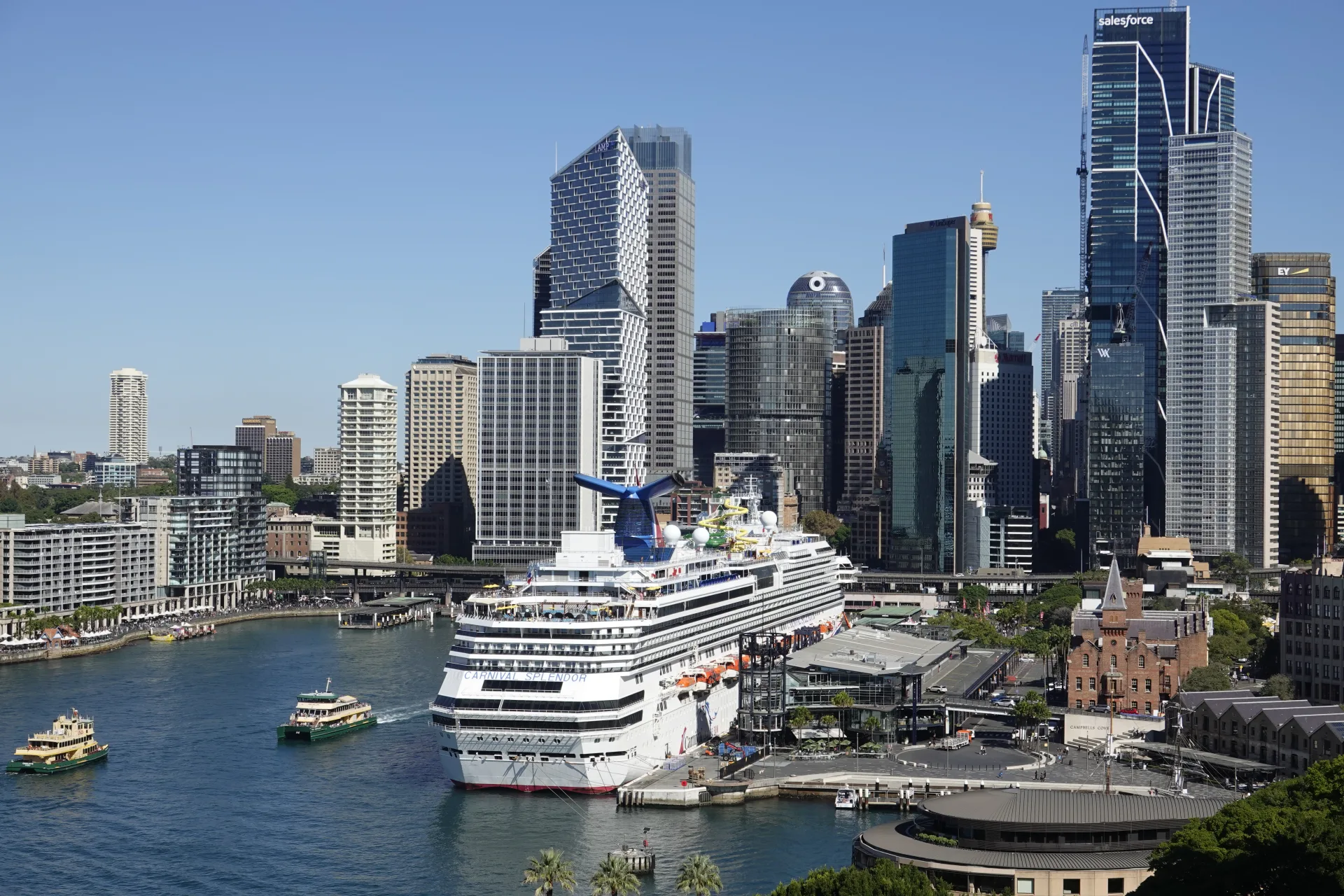
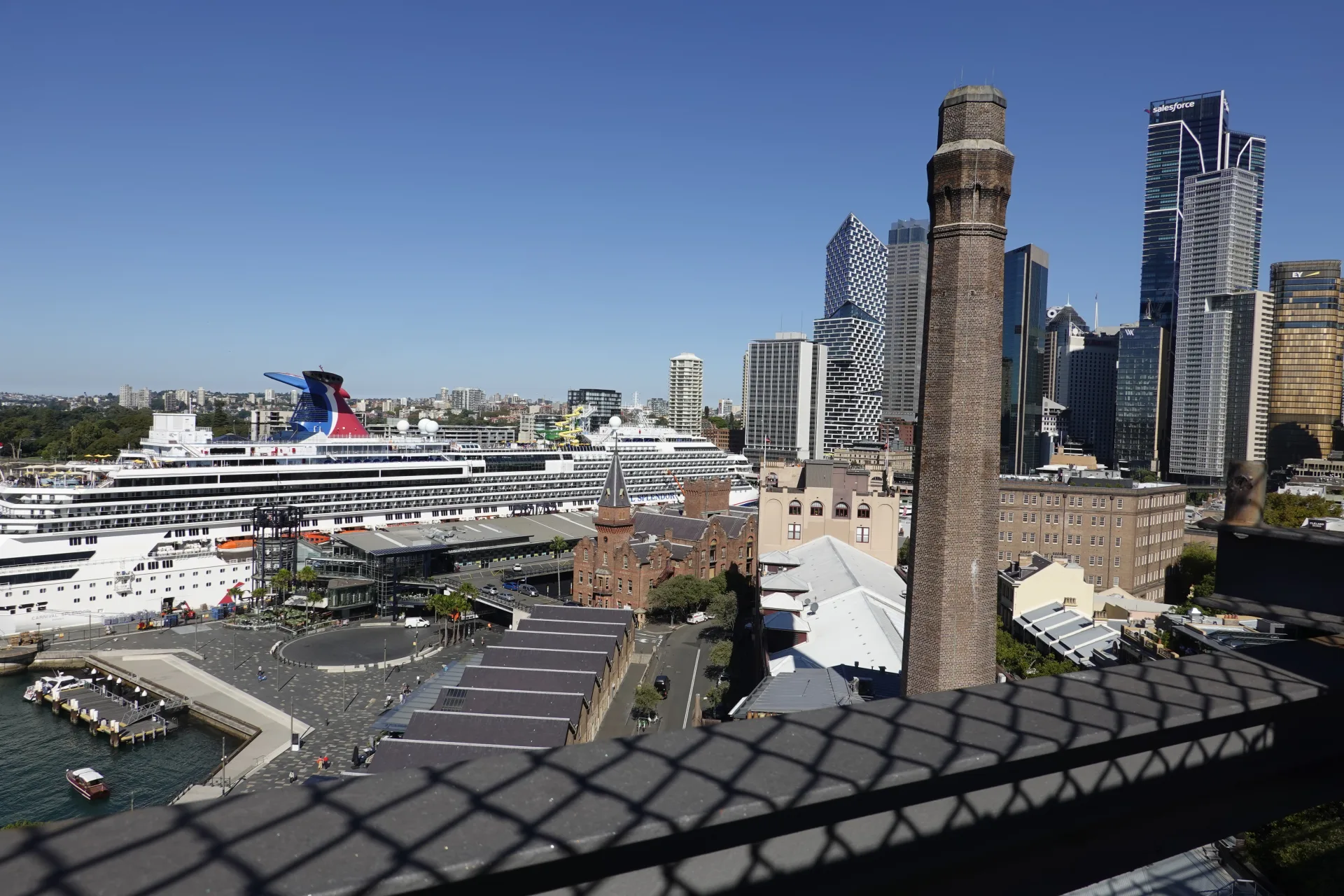
A large cruise ship was berthed at Circular Quay below us. The height of the bridge made it possible to see the decks, terminal and nearby streets in the same view.
Near the middle of the span, we could also look diagonally down towards the Opera House and understand its position across the harbour from Circular Quay.
Looking farther south brought the cruise terminal and central Sydney towers together. The skyline moved steadily closer as we continued towards The Rocks.
Free crossing or a Summit Climb?
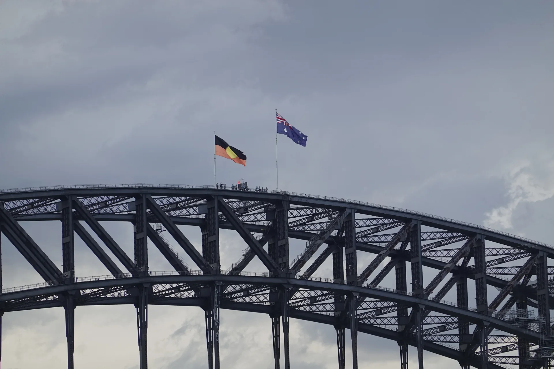
We could see BridgeClimb groups moving along the upper arch while we stayed on the public path. Their route uses safety equipment and reaches a much higher, unobstructed position than the fenced walkway.
GetYourGuide lists the guided daytime Summit Climb, a three-hour English-language experience including preparation. The official operator currently requires children to be at least eight years old and 1.2 metres tall, with health and fitness conditions applying to all climbers.
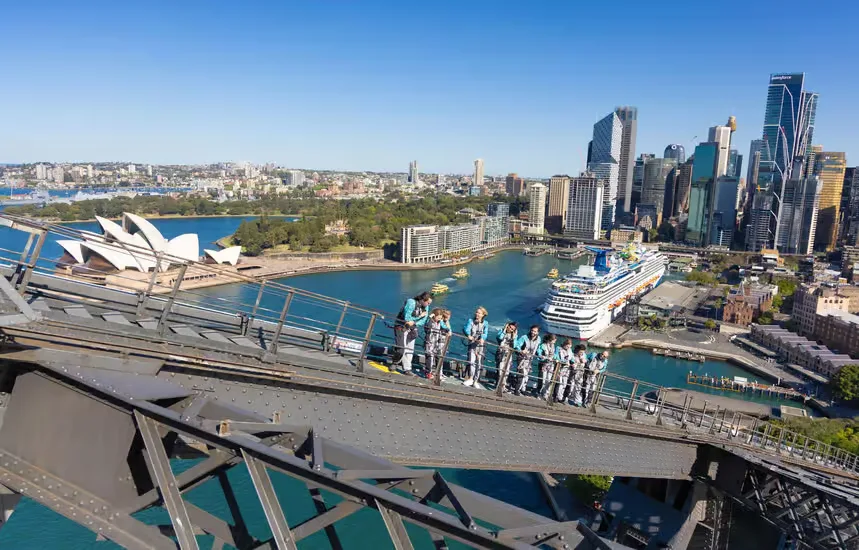
The free walk suited us because we wanted to continue from Milsons Point to The Rocks at our own pace. It still gave us a broad view of the Opera House, Circular Quay and the ship below.
The Summit Climb is the stronger choice when reaching the top and getting a 360-degree view are the main reasons for your visit.
A shorter guided UnderBridge Walk
There is also a guided route beneath the upper arches. KKday offers the Under the Sydney Harbour Bridge Walk in English.
The current product is about two hours in total, with one hour on the bridge. It stays lower than the summit, follows mostly flat pathways and includes one short set of stairs, safety equipment, a guide and a printed group photo.
It does not replace the free crossing: the tour begins and ends at the BridgeClimb base in The Rocks and explores parts of the structure that ordinary pedestrians cannot enter. It is a middle option for travellers who want more engineering and history than the public path provides without committing to the summit.
Finishing in The Rocks
At the southern end, the pedestrian path continues beside the road towards Cumberland Street. The crossing does not end immediately after the arch, so we kept following signs until we reached the stairs into The Rocks.
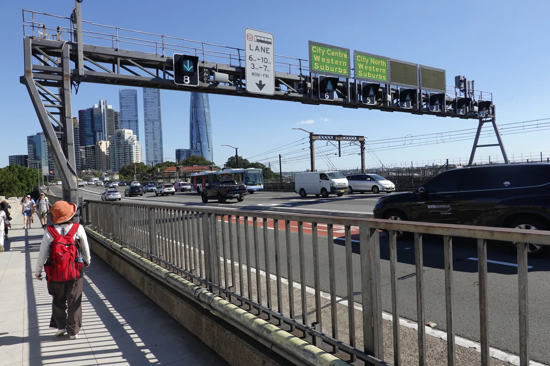
We kept following the elevated path beside the road until signs directed us towards the stairs and lift for The Rocks.
The stairs and lift bring walkers down near the sandstone and brick buildings of The Rocks. The shift from the bridge's steel structure to the older streets was one of the most satisfying parts of walking rather than taking the train.
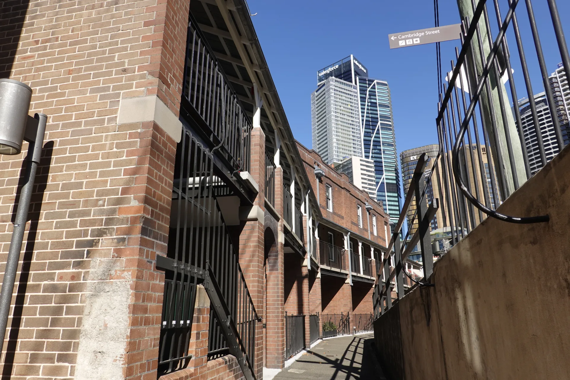
Between the older buildings, we could see the modern central Sydney skyline ahead. The contrast made the descent feel like a clear change from bridge crossing to neighbourhood walk.
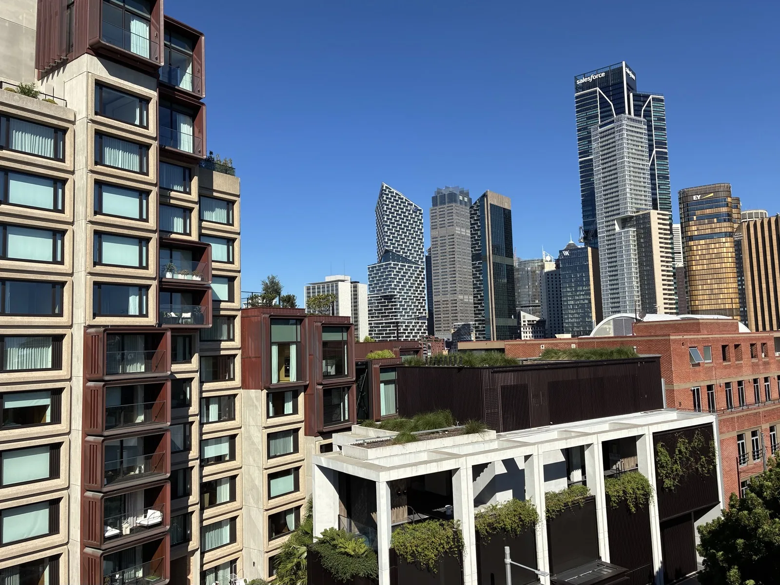
From here, Circular Quay and the Opera House are downhill. The Museum of Sydney is another short walk beyond Circular Quay if you want to continue with an indoor stop.
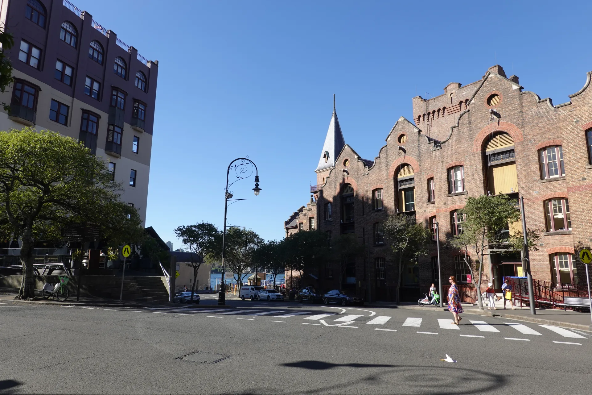 The Rocks Sydney Walking Guide: Historic Streets and Highlights
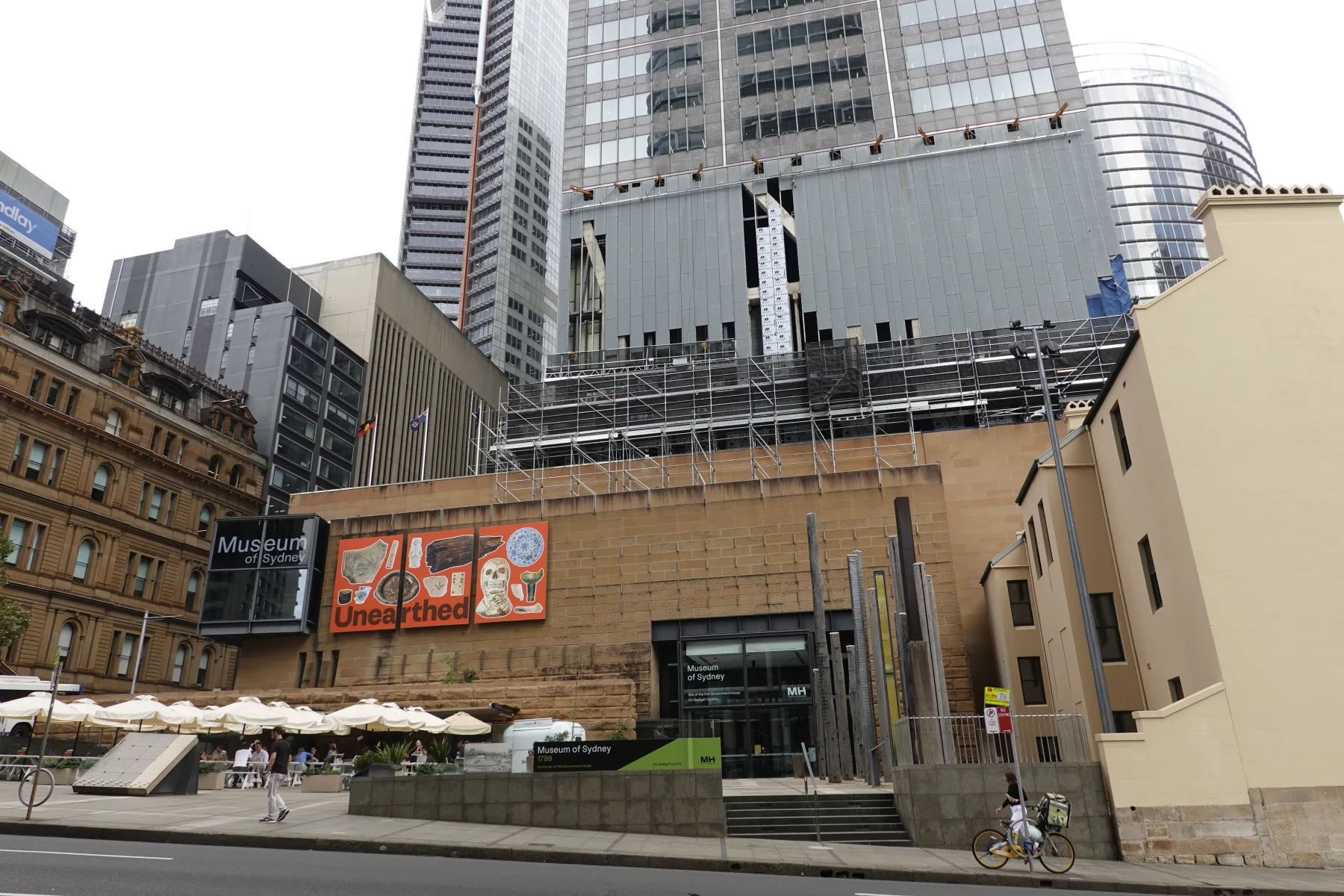 Museum of Sydney: Opening Hours, Free Entry and Exhibits
The Rocks guide continues from the bridge stairs through the sandstone lanes; the museum card is useful if weather makes an indoor stop more appealing.
What to take and which experience to choose
- Free crossing: best for moving between Milsons Point and The Rocks while seeing the harbour
- UnderBridge Walk: best for a guided look at the lower structure without reaching the summit
- Summit Climb: best when the height and unobstructed 360-degree view are the main attraction
- Sunny weather: bring water, sunscreen and a hat because shade is limited
- Wind or rain: carry a light outer layer; conditions feel more exposed above the harbour
Prices, departure times and participation conditions change. Compare the live options for your travel date and read the health, height and cancellation terms before paying.
If you continue around the harbour after crossing, the free Royal Botanic Garden Sydney offers a lower, greener walk towards Mrs Macquarie's Point.
Check cover for paid bridge activities
The public pedestrian crossing is different from a booked climb or guided activity. Check cancellation and activity exclusions using the travel insurance guide for Australia.
Frequently asked questions
Can you walk across Sydney Harbour Bridge for free?
Yes. The pedestrian path on the eastern side is free and does not require a ticket. BridgeClimb experiences use separate routes and require a paid booking.
How long does the walk take?
Allow about 30 minutes to cross at a steady pace. Forty-five minutes to one hour gives you time to stop for Opera House and harbour views without rushing.
Where does the walk start in Milsons Point?
The northern stairs and lift are on Broughton Street near Milsons Point Station. Follow signs for the pedestrian walkway rather than the western cycleway.
Is the walkway step-free?
Lifts connect Broughton Street at the northern end and Cumberland Street at the southern end with the eastern pedestrian path. Check local signs in case maintenance affects access.
What is the difference between the free walk and BridgeClimb?
The free crossing stays on the fenced eastern pedestrian path. BridgeClimb provides guided, equipped experiences on separate parts of the structure, including a summit route and a lower UnderBridge route.
Summary
Walking south across Sydney Harbour Bridge connected our Milsons Point morning with The Rocks without another train journey. The eastern path gave us changing views of the Opera House, Circular Quay and ferries while the steel arch passed directly overhead.
The public path is free, while the UnderBridge Walk and Summit Climb add guides, equipment and access to different parts of the structure. Allow up to an hour for an unhurried crossing, use the lifts if you need step-free access and leave space for other walkers when stopping for photos.