Milsons Point & Bradfield Park: Harbour Views and Directions
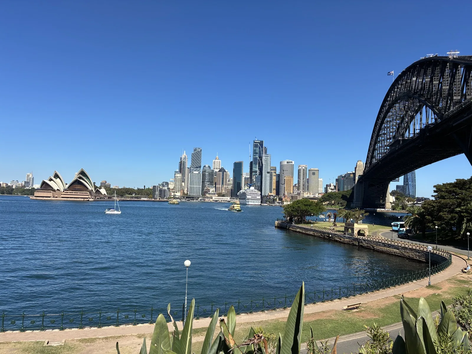
Milsons Point puts Sydney Harbour Bridge overhead and the Opera House across the water. We walked through Bradfield Park to Luna Park in April 2026.
Why stop at Bradfield Park?
Bradfield Park runs partly beneath the northern end of Sydney Harbour Bridge. From its lawns and foreshore, you can look up at the sandstone pylon and steel arch, then turn towards the Opera House and Circular Quay skyline.
It is not a ticketed lookout. We used it as the quiet middle part of a route that continued along the water to Luna Park and then back across the bridge on foot.
- Admission
- Free
- Nearest train station
- Milsons Point
- Nearest ferry wharf
- Milsons Point
- Good for
- Harbour views, a picnic and a short waterfront walk
- Our visit
- 15 April 2026
North Sydney Council lists a playground and drinking fountains, as well as the lawns and paved area under the bridge. Its Bradfield Park page is the best place to check current park information.
Our train ride from Redfern to Milsons Point
We visited after walking around the University of Sydney. From the campus, we reached Redfern Station in about ten minutes on foot, passing the cafés, terrace houses and older buildings of Darlington.
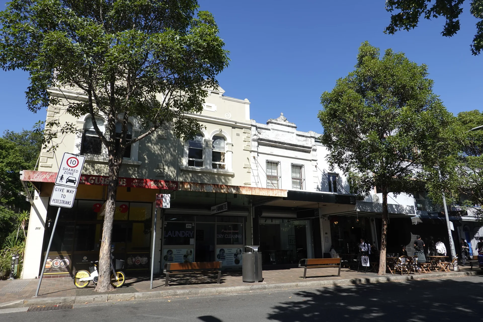
The streets between the university and station made the transfer feel like part of the day rather than a blank journey. We checked the map at each major junction because it was our first time taking this route.
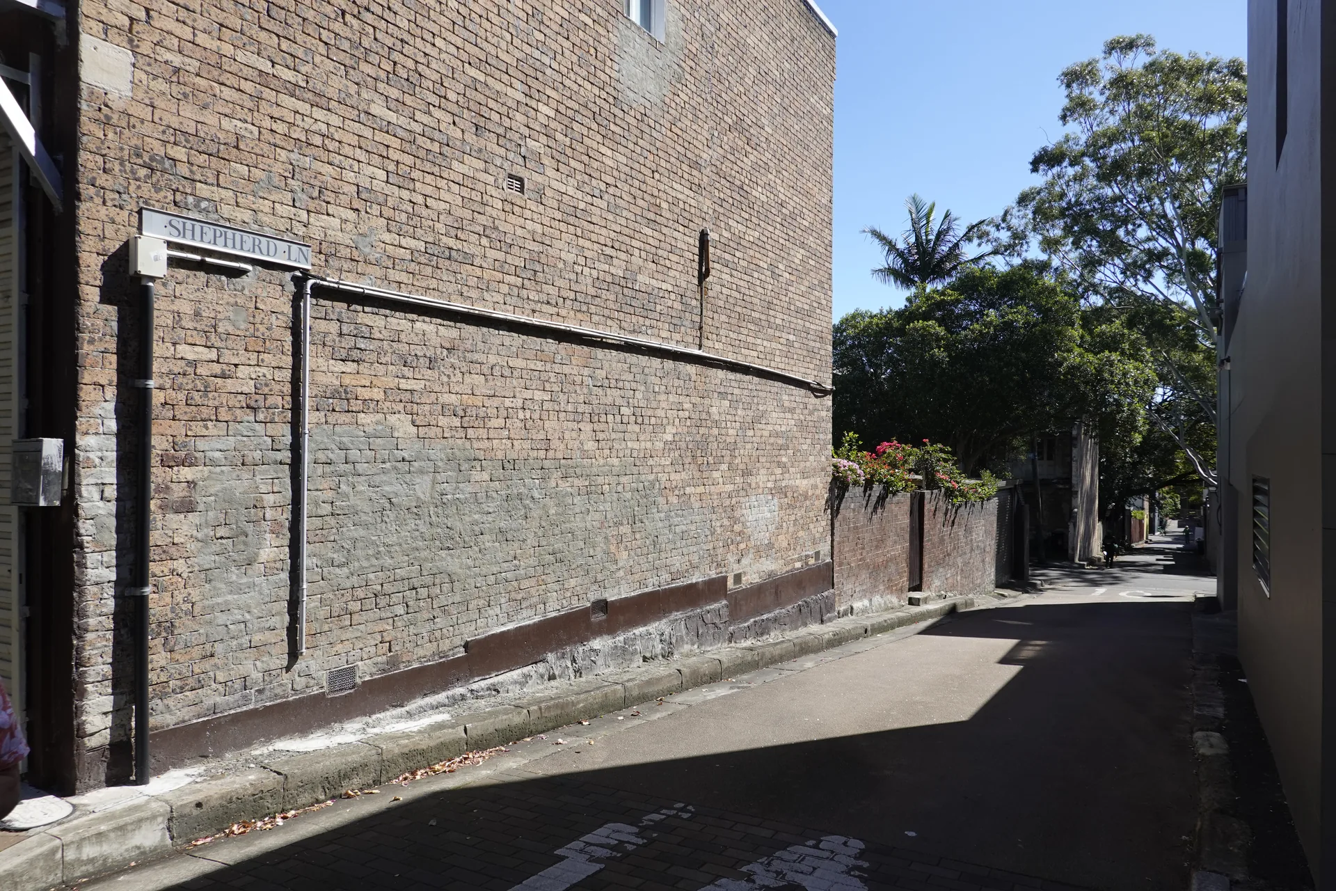
A tall heritage building stood at the next junction. Looking up from the pavement brought its windows and upper façade into view.
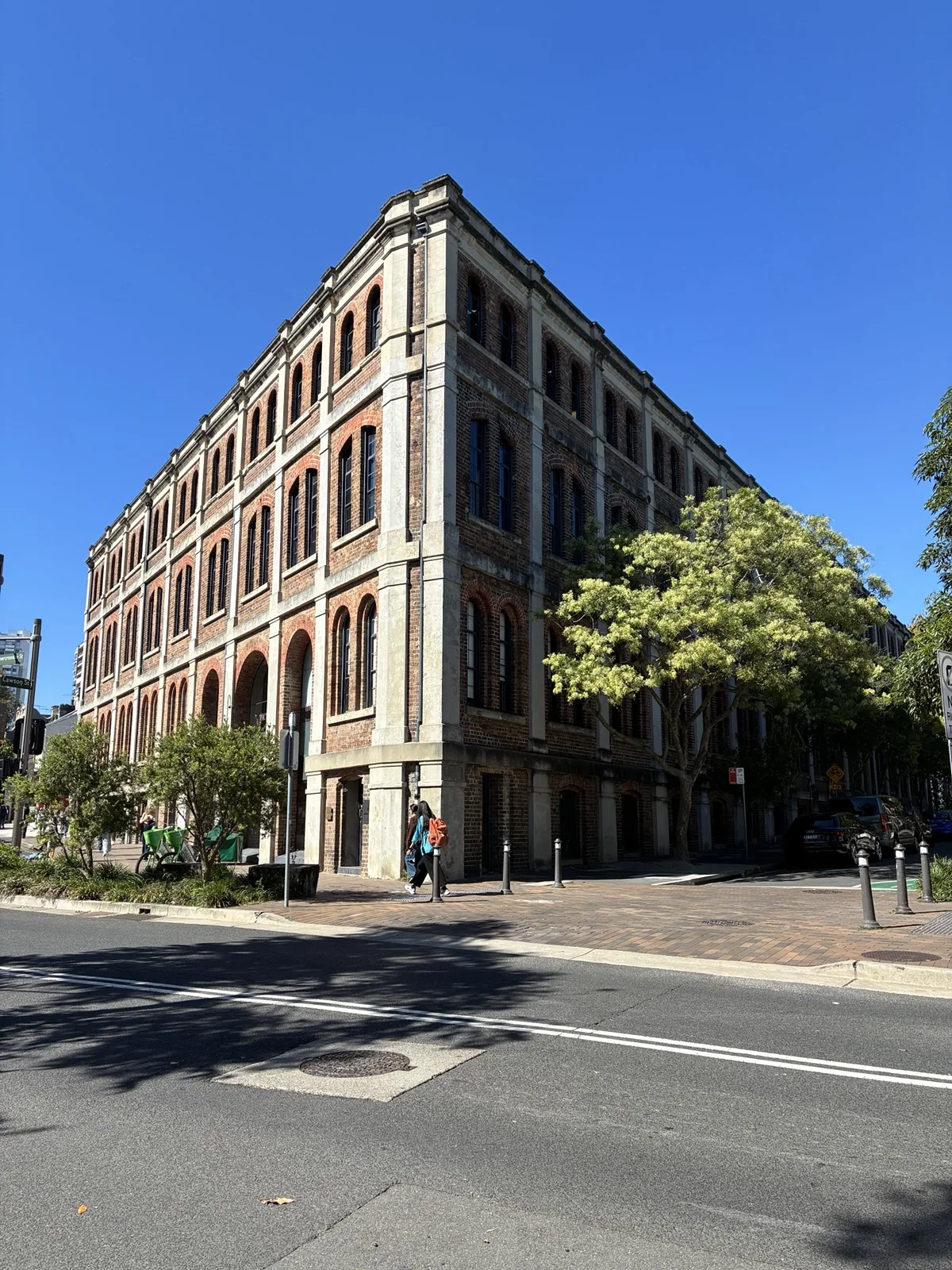
From across the road, the same building appeared much larger than the terrace houses around it. The walk to the station gave us time to notice this part of Sydney beyond its major landmarks.
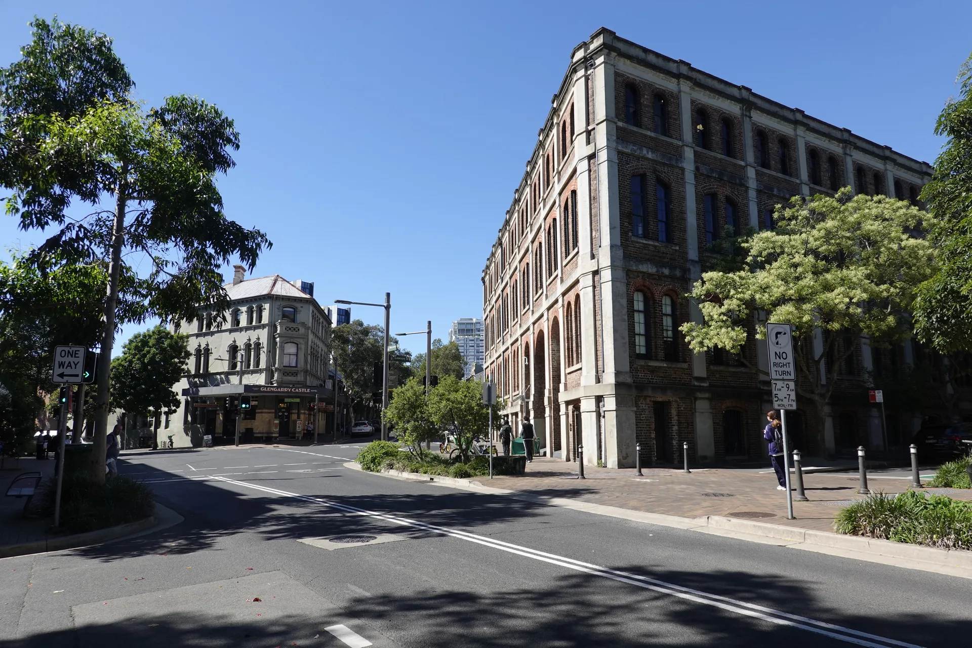
Tables had been placed beneath the trees on another quiet street. The route was not crowded when we walked it in the morning.
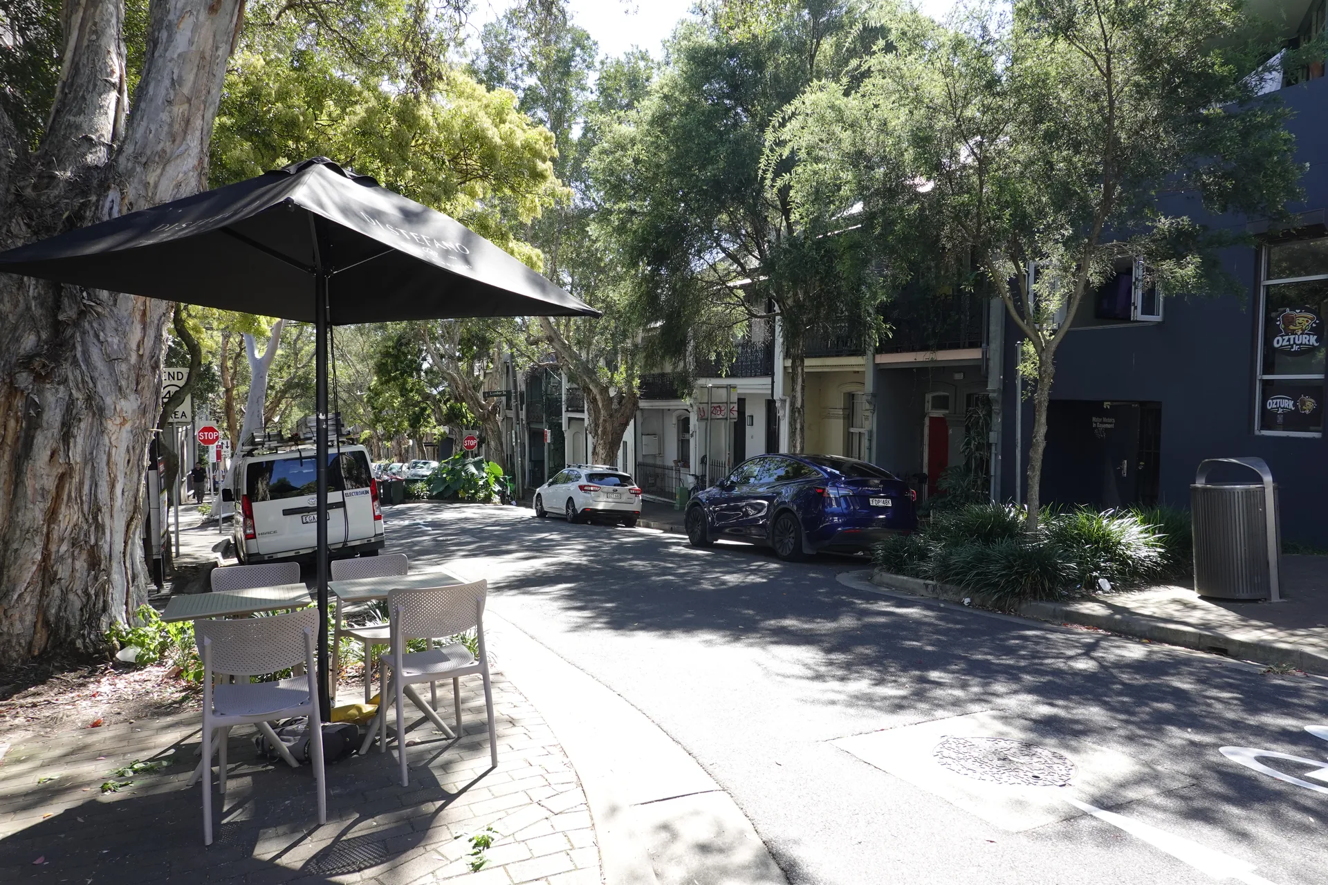
Rows of terrace houses continued towards Redfern. We covered the distance from the Main Quadrangle to the station in about ten minutes, excluding our photo stops.
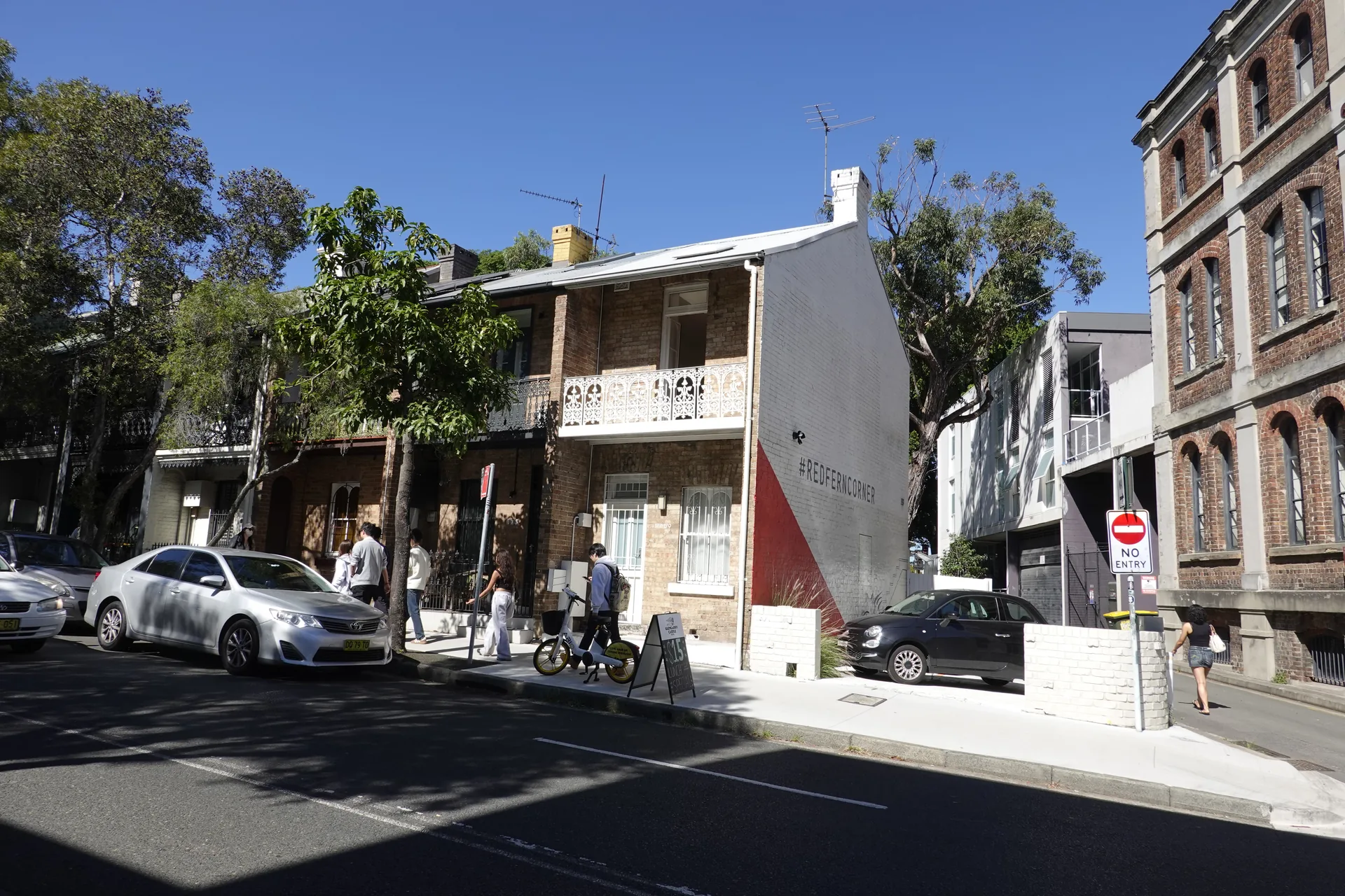
Closer to Redfern, more shops, cars and shared bicycles appeared along the footpath.
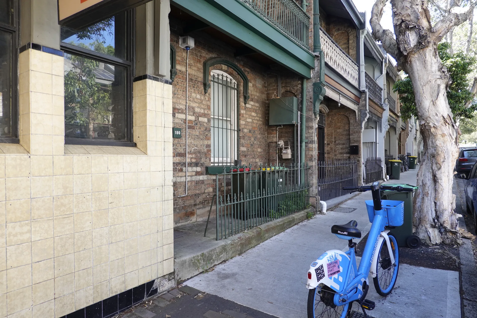
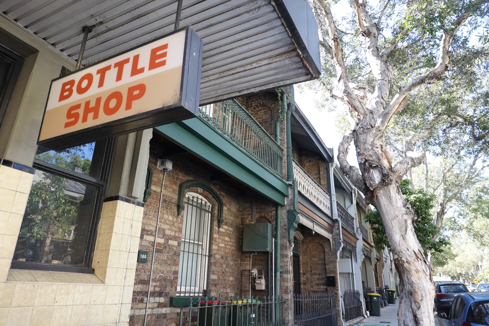
An older bottle shop beside a large tree was another small piece of the neighbourhood we would have missed by travelling directly between attractions.
We followed a tree-lined street towards the taller apartment buildings around the station.
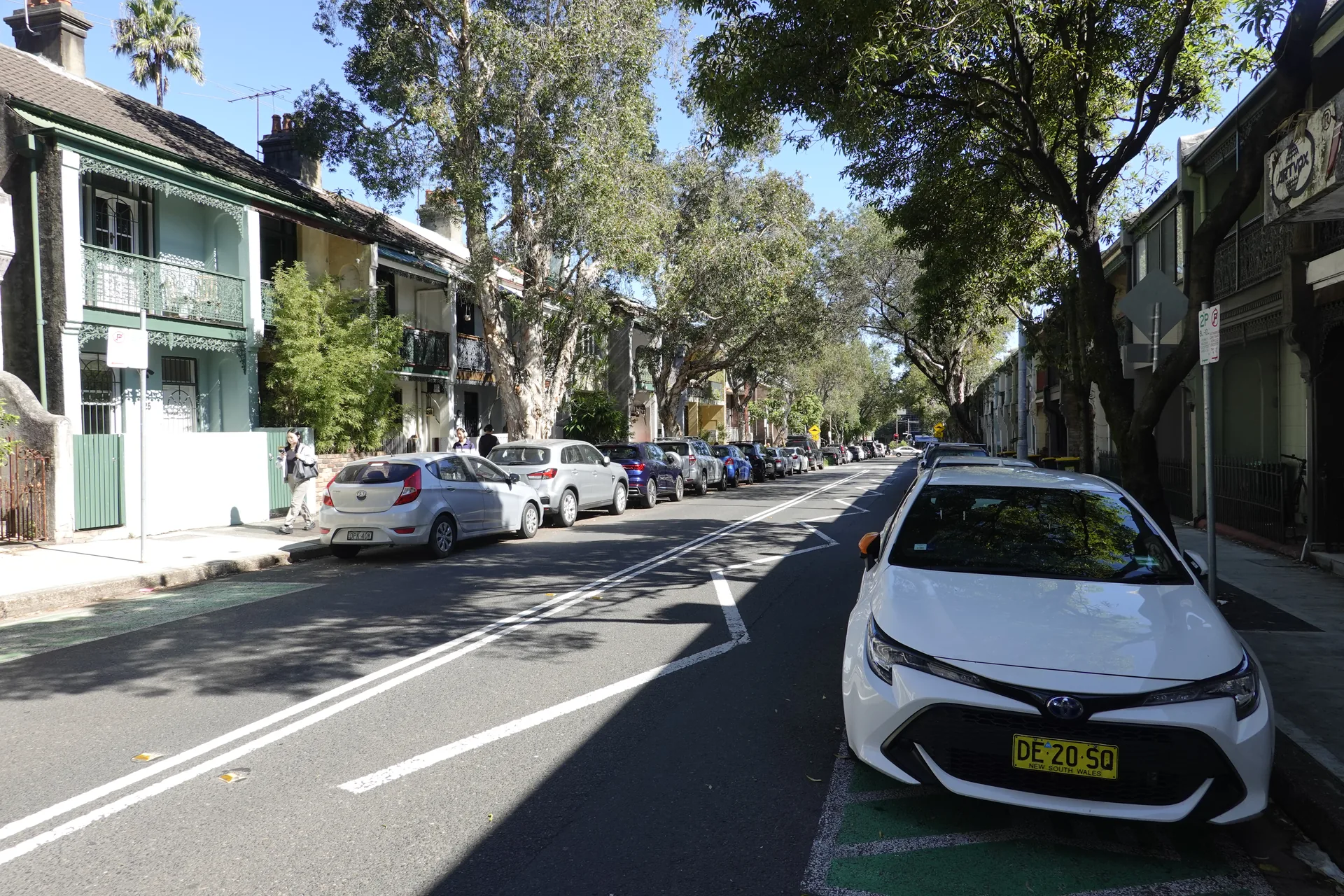
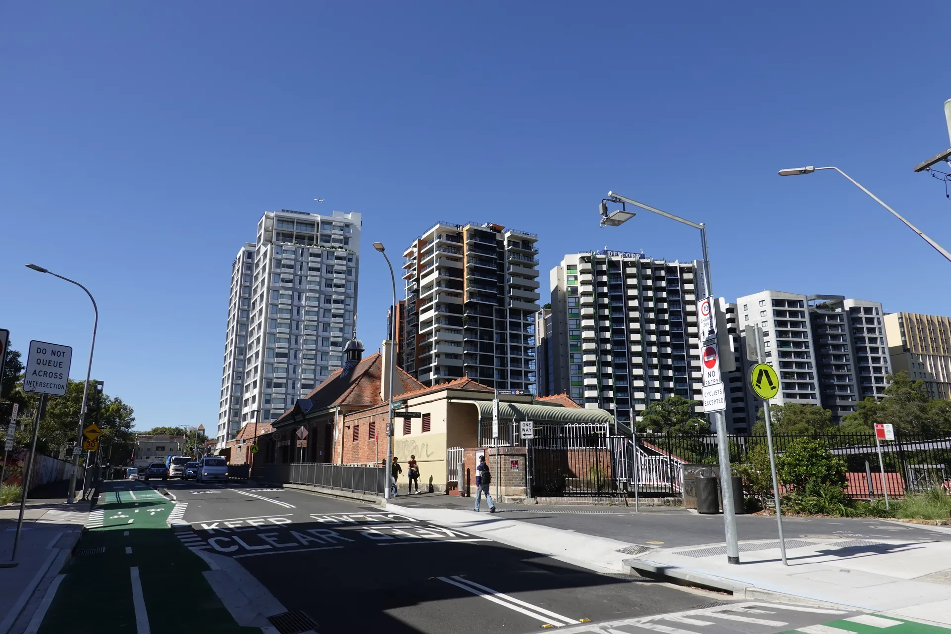
Closer to the station, the streets became busier and the station-side apartment buildings came into view. The Lawson Street entrance led us to the train platforms.
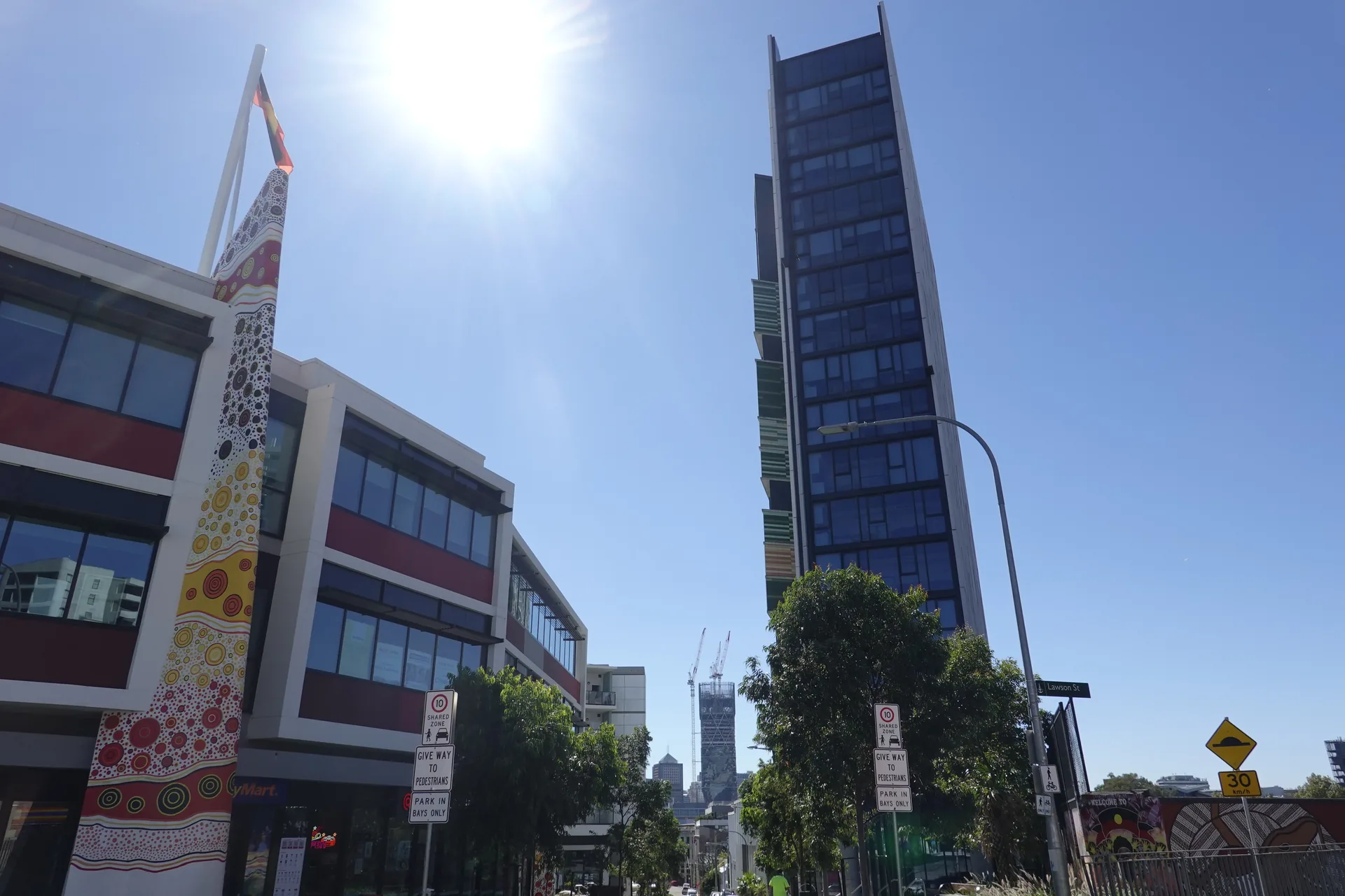
Aboriginal-inspired artwork and the Lawson Street sign helped confirm the station entrance before we went inside.
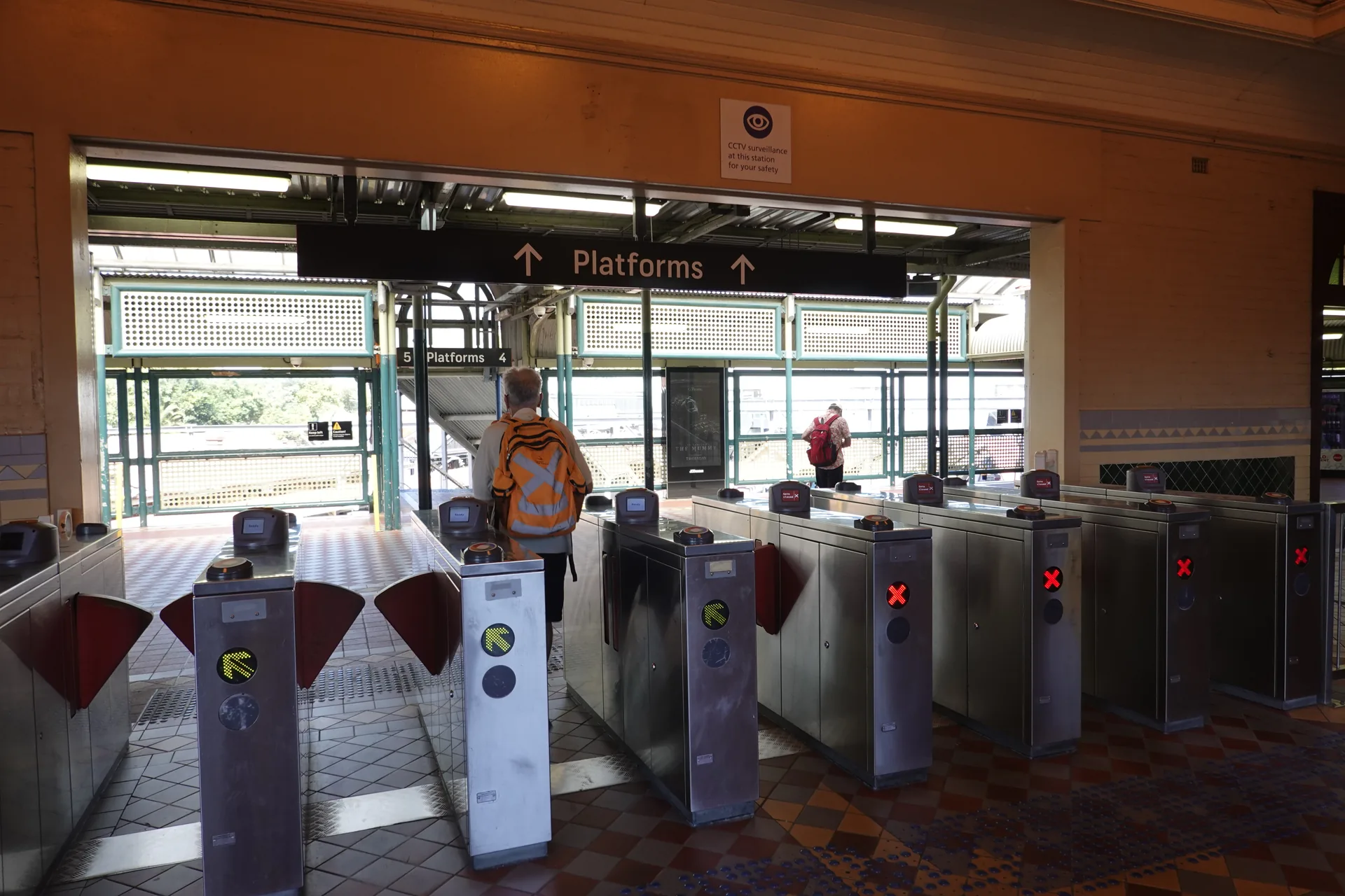
We used a contactless card at the gates. Transport for NSW accepts American Express, Mastercard and Visa cards or linked devices on Sydney public transport; use the same card or device when tapping on and off.
On the platform, we checked that the arriving service would stop at Milsons Point before boarding its yellow doors.
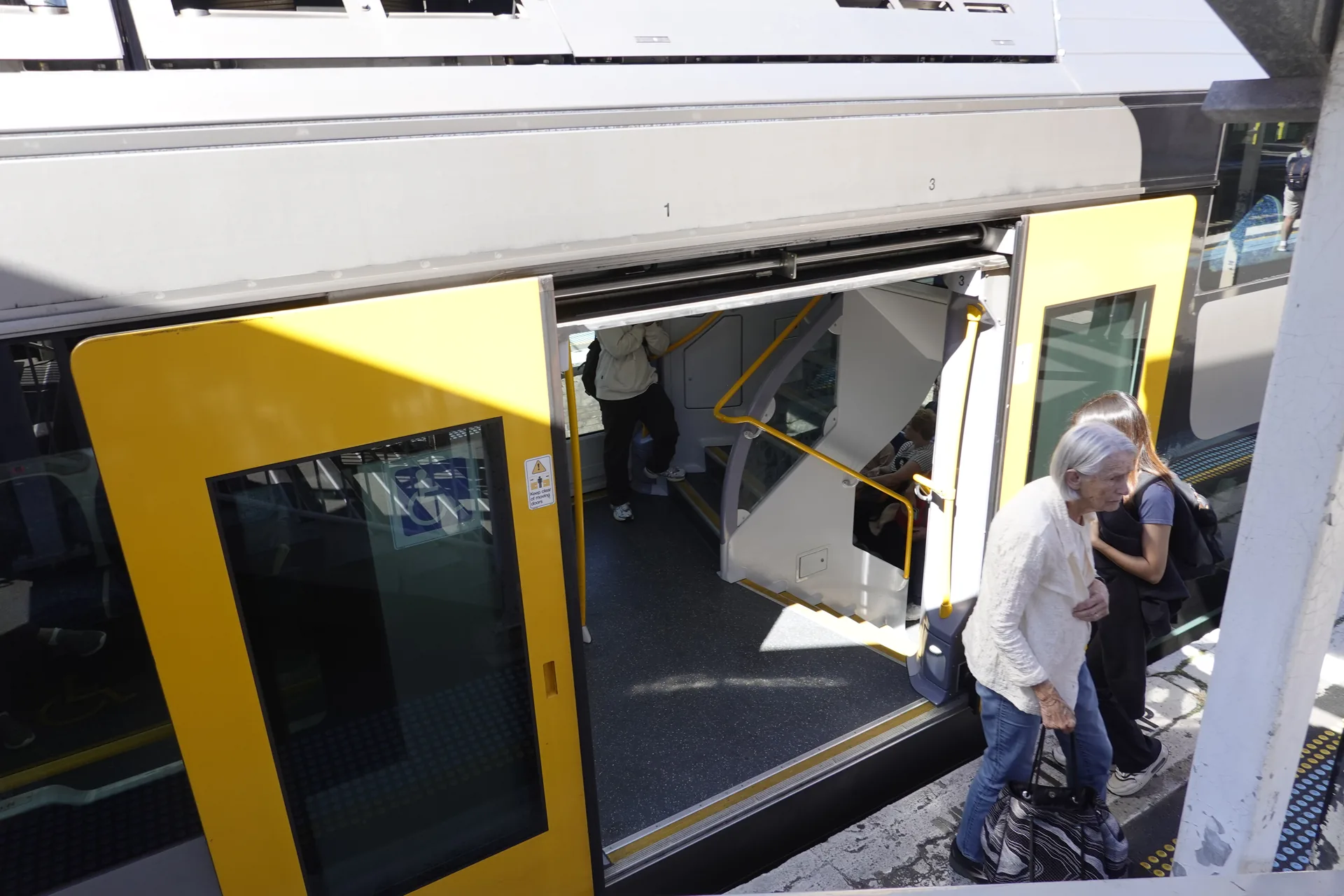
The entrance area divided into short staircases for the upper and lower seating decks. Mind the step if you are carrying luggage.
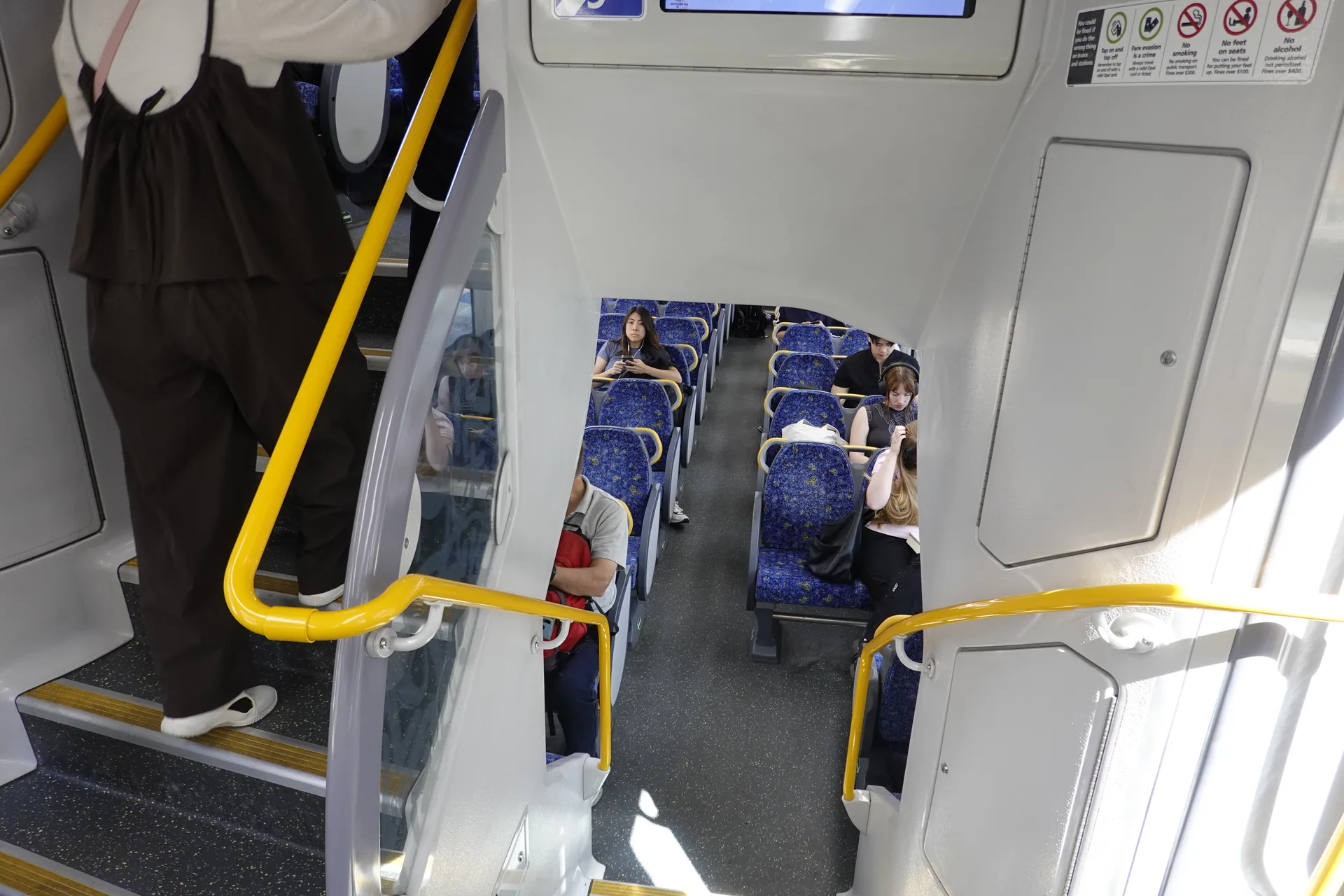
Our direct train ran through Central, Town Hall and Wynyard before crossing the Harbour Bridge. The journey from Redfern to Milsons Point took about 13 minutes according to the times on our photos, but the current route and platform should always be checked before travel.
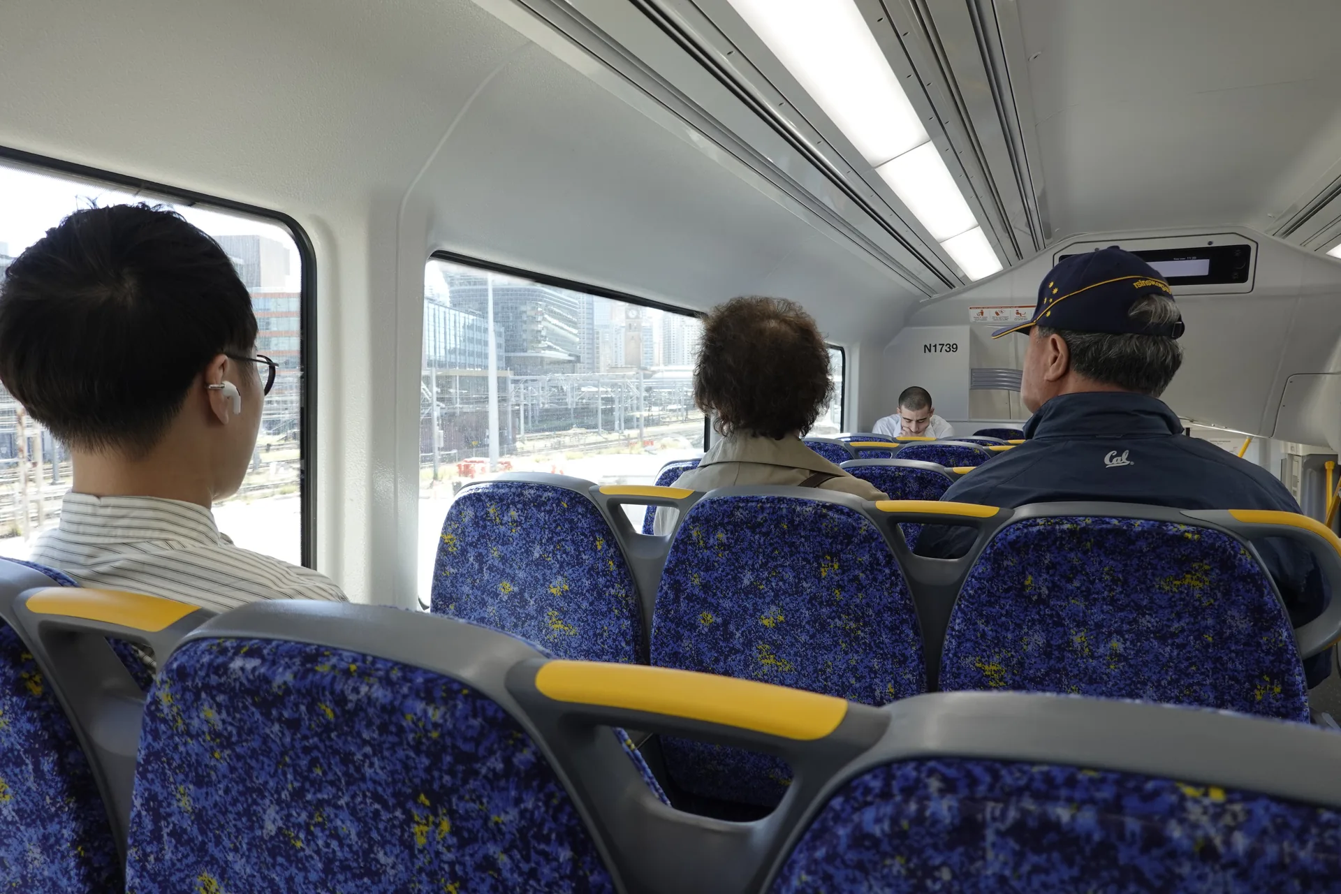
Sydney's double-deck trains divide into upper and lower seating from the entrance area. The upper deck gave us a higher window position for the short harbour crossing.
Crossing Sydney Harbour Bridge by train
After Wynyard, the train emerges onto Sydney Harbour Bridge. The harbour appears between the steelwork while rail and road traffic cross side by side.
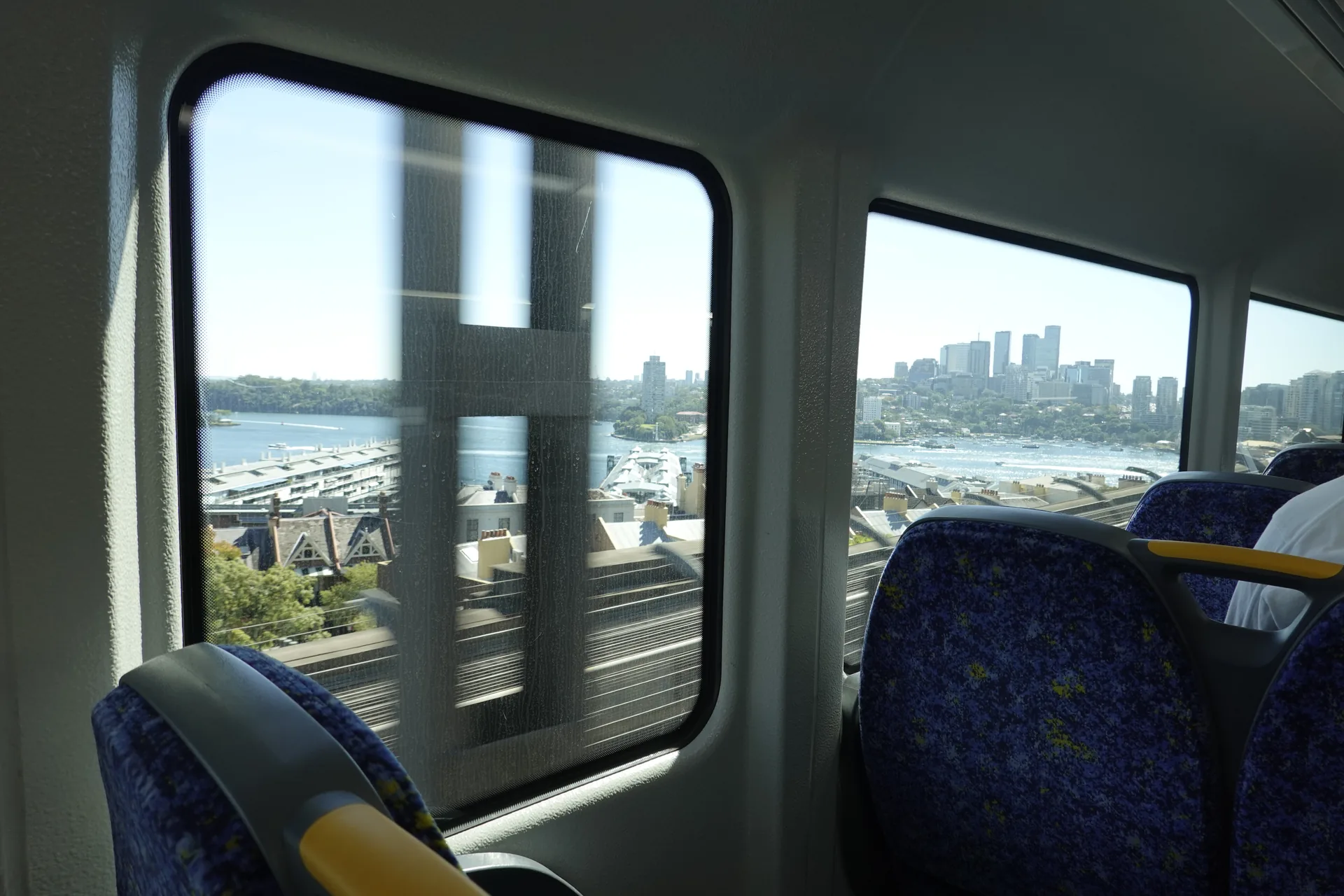
The view lasts only a short time. On a northbound train, the Opera House is on the right-hand side, although another passenger, the carriage layout or bridge structure may block the view.
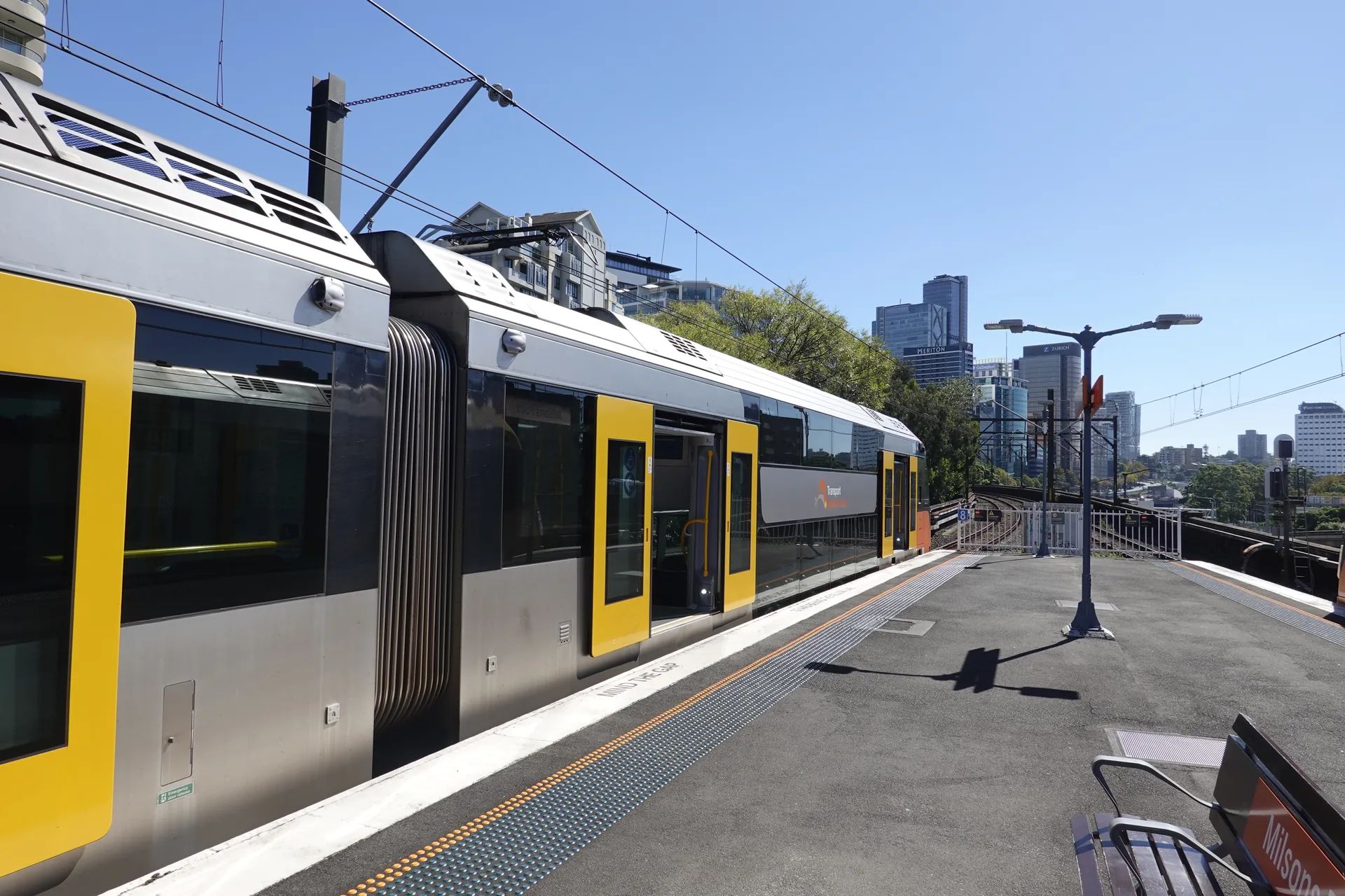
We left at Milsons Point Station and headed towards Alfred Street South. The station has lifts as well as stairs, and Transport for NSW currently lists it as independently accessible.
Walking under the Harbour Bridge
Bradfield Park begins only a short walk from the station. The first open lawn gives you space to look back at the full northern pylon and part of the arch.
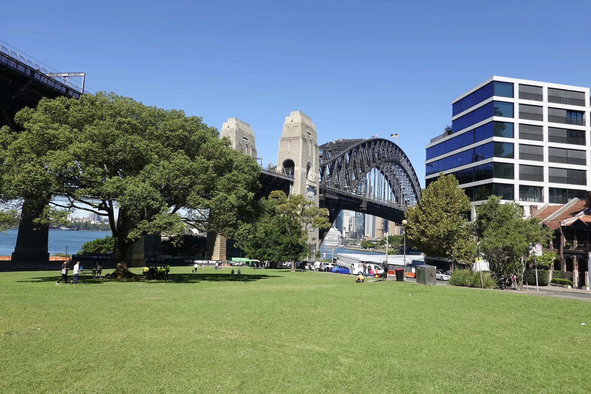
Large trees break up the view and provide shade. During our morning visit, people were walking or sitting on the grass, but the park felt much calmer than Circular Quay.
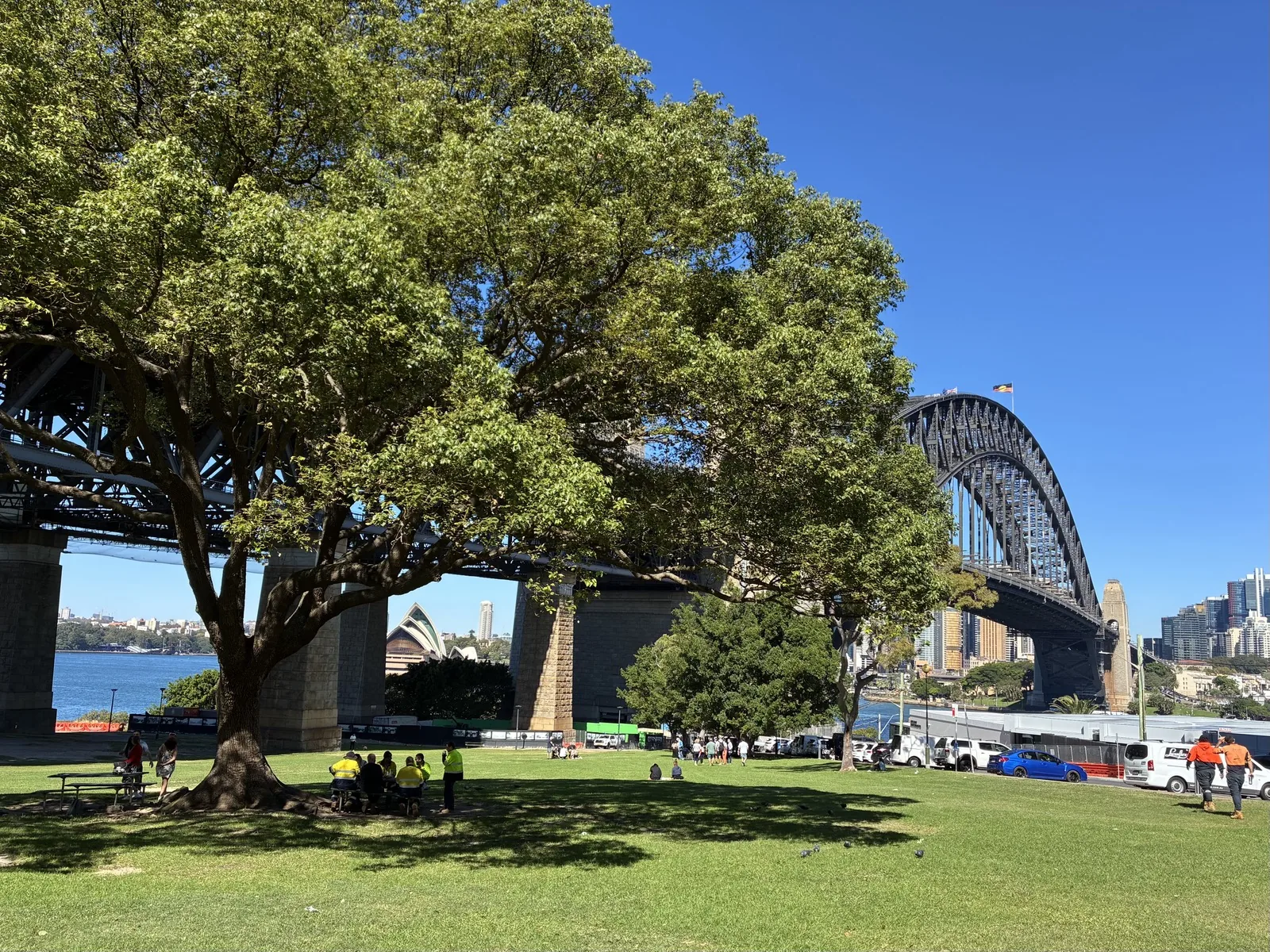
As we moved towards the water, the sandstone pylon filled more of the frame. The changing scale is the reason to walk through the park rather than stopping at its street edge.
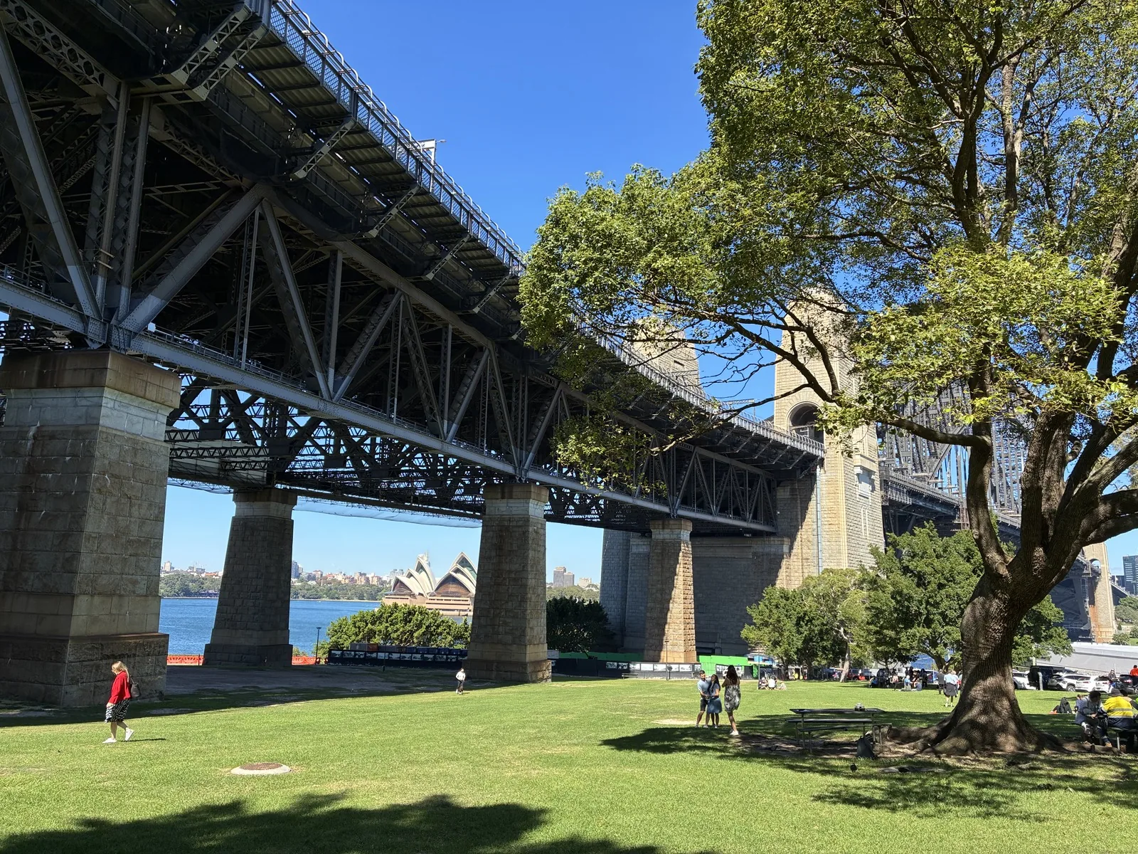
Directly beneath the bridge, the stone and steel feel far larger than they do from the city side. Trains and road traffic pass overhead, so this is a striking rather than silent section of the park.
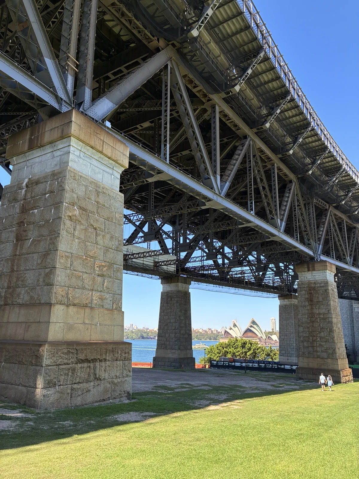
The paved area let us continue around the pylon without walking across the lawn. It also provided a close view of the bridge's underside and supporting steelwork.
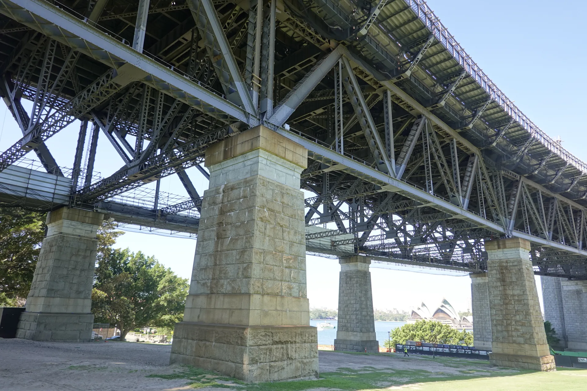
Moving directly beneath the structure revealed the full mass of the supports and the steelwork carrying the road and railway above us.
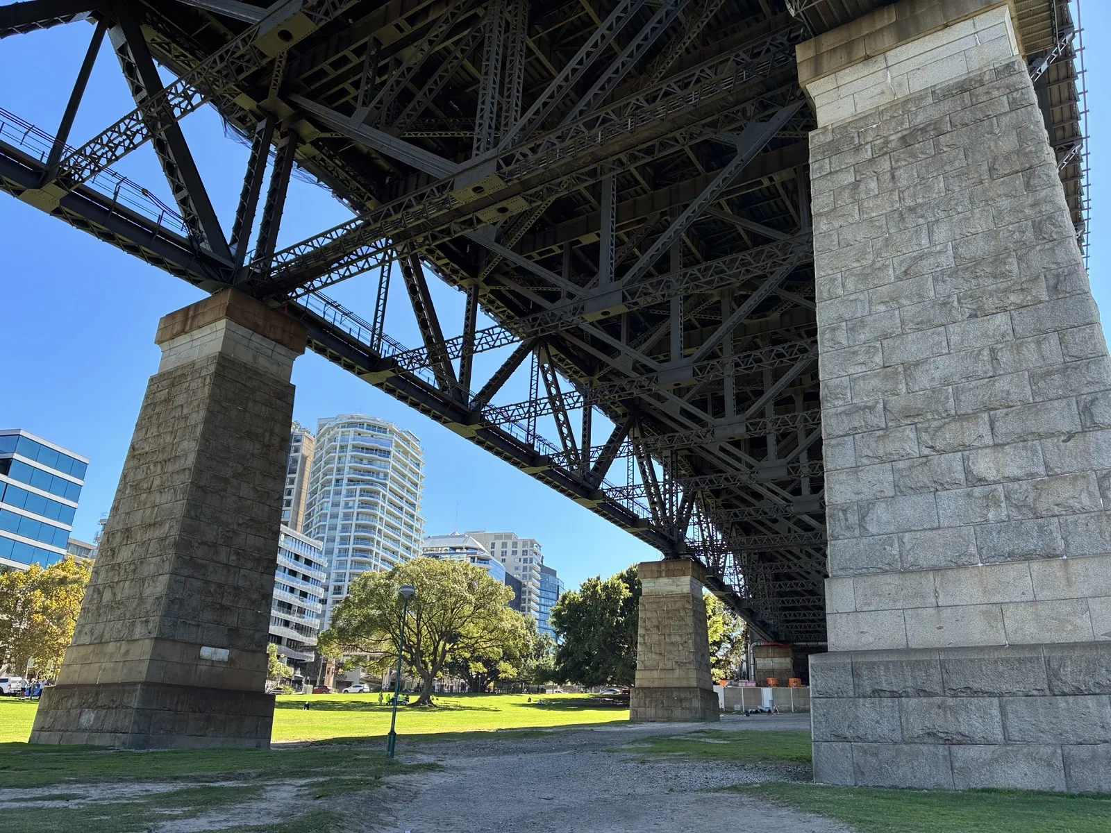
Bradfield Park's position is easy to check on Google Maps. Aim for the section beside Alfred Street South if you are arriving from the station.
Opera House and city views from the foreshore
At the water, the bridge remains close on the right while the Sydney Opera House sits across the harbour on the left. Circular Quay and the city towers fill the space between them.
This angle shows how the city's best-known landmarks relate to one another. From the Opera House you look back towards the bridge; from Milsons Point, the arch becomes the foreground for the wider harbour. Our Sydney Harbour sightseeing cruise changed the perspective again by placing both landmarks around us on the water.
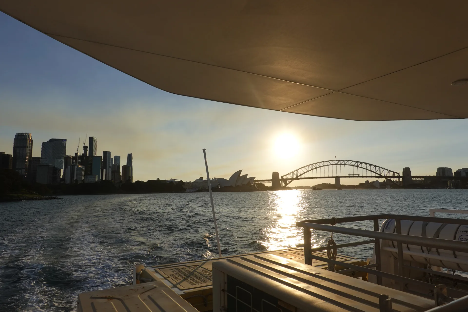
Comparing that sunset view from the water with the next day's foreshore view made the scale and distance between the two landmarks much clearer.
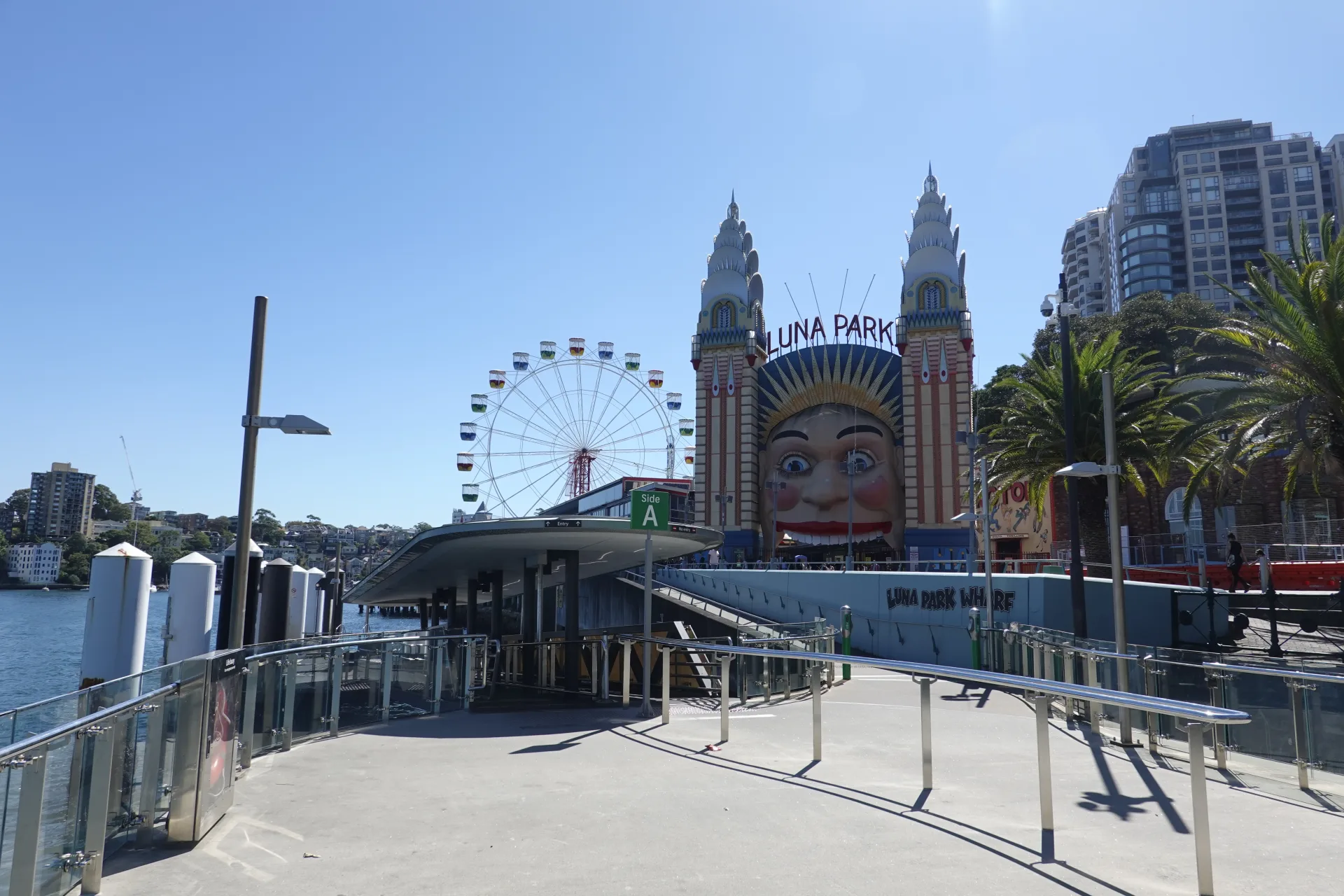
After taking photographs, we continued along the foreshore to Luna Park Sydney. The walk keeps you beside the harbour and leads naturally to the park's giant entrance face.
How to get to Milsons Point and Bradfield Park
Milsons Point Station is the most direct arrival point for the park. Ferry and bridge-walk approaches add another harbour view, so using a different method in each direction can make the journey part of the visit.
- Train: get off at Milsons Point Station, then follow signs towards Alfred Street South
- Ferry: use Milsons Point Wharf and walk back along the waterfront towards the bridge
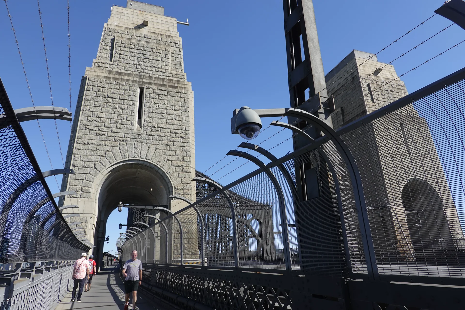
- On foot: cross the eastern pedestrian path of Sydney Harbour Bridge from The Rocks, then descend into Milsons Point
- Taxi or rideshare: use Bradfield Park, Milsons Point as the destination and confirm the safest drop-off point
Timetables and stopping patterns can change. Use the Transport for NSW Trip Planner for current routes, real-time departures and accessibility details.
If you arrive by train or ferry and want to return to the city on foot, our bridge guide follows the public walkway from Milsons Point to The Rocks.
What to know before you go
The open lawns and waterside paths are exposed to the weather, while the bridge and mature trees provide shade in other parts of the park. Bring sun protection on a clear day and a light layer if the harbour wind is cool.
Ordinary mornings can be relaxed, but New Year's Eve and other major events are different. Temporary fencing, crowd controls and access restrictions may apply, so check council and transport updates for the date of your visit.
The playground serves a broad age range, and drinking fountains are available according to North Sydney Council. Toilets and additional facilities are also available at nearby Milsons Point Station, but opening or access conditions can change.
Paying for the surrounding journey
The park is free, but transport and nearby purchases are in AUD. The Wise card guide for Australia explains contactless travel, conversion and backup-card planning.
Frequently asked questions
Where can you see Sydney Harbour Bridge and the Opera House together?
The Milsons Point foreshore beside Bradfield Park gives you a close view of Sydney Harbour Bridge with the Opera House and Circular Quay skyline across the water.
What is the nearest station to Bradfield Park?
Milsons Point Station is the nearest railway station. Bradfield Park is only a short walk from the station on the harbour side of Alfred Street South.
Is Bradfield Park free to visit?
Yes. No admission ticket is required to walk through Bradfield Park, use the lawns or enjoy the harbour views.
How do you get from Circular Quay to Milsons Point?
You can travel by ferry to Milsons Point Wharf, take a train across the Harbour Bridge or walk across the bridge from The Rocks. Check the Transport for NSW Trip Planner for current services.
Summary
Bradfield Park gave us a close look at the northern pylon and steelwork of Sydney Harbour Bridge, then opened onto a broad view of the Opera House and city skyline. It was a free, unhurried stop within minutes of Milsons Point Station.
Use the train for the quick approach, the ferry for a water-level arrival or the pedestrian path for a longer harbour walk. From the park, Luna Park is the natural next stop along the foreshore.