The Rocks Sydney Walking Guide: Historic Streets and Highlights
We crossed Sydney Harbour Bridge, descended into The Rocks and followed its sandstone lanes towards Circular Quay. This guide traces our route through historic streets, small courtyards and waterfront landmarks.
This article contains affiliate links. We may earn a commission at no extra cost to you.
Our walking route through The Rocks
We entered The Rocks from above after walking south across Sydney Harbour Bridge. From the pedestrian exit, we descended towards Cumberland Street and found heritage homes, bridge structures and steep lanes compressed into the same small area.
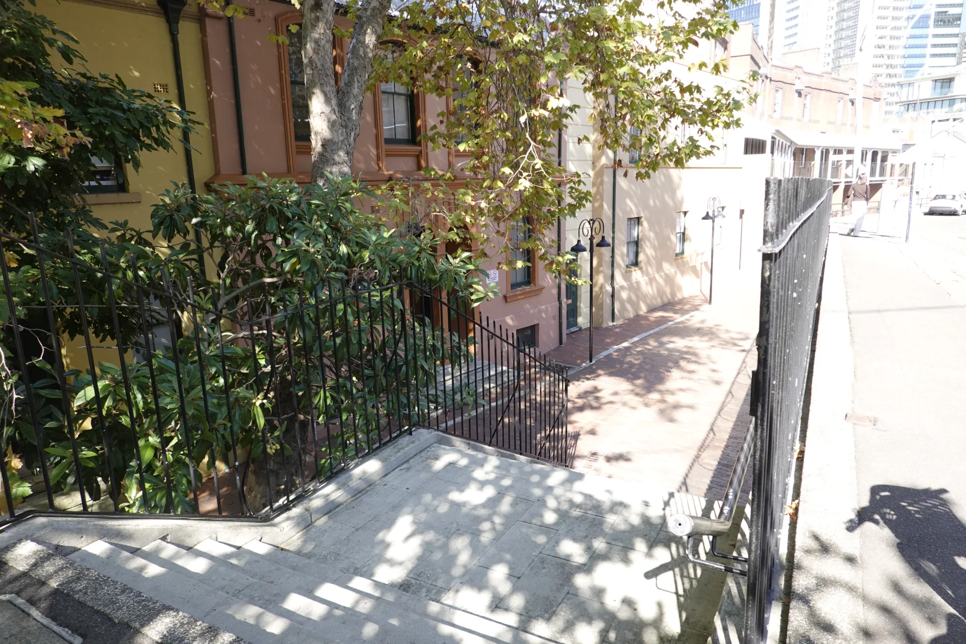
The scale changed quickly. On the bridge we had been surrounded by steel and open harbour; below it, roofs and stone walls sat close to the stairs. The changing elevation also revealed different views from one block to the next.
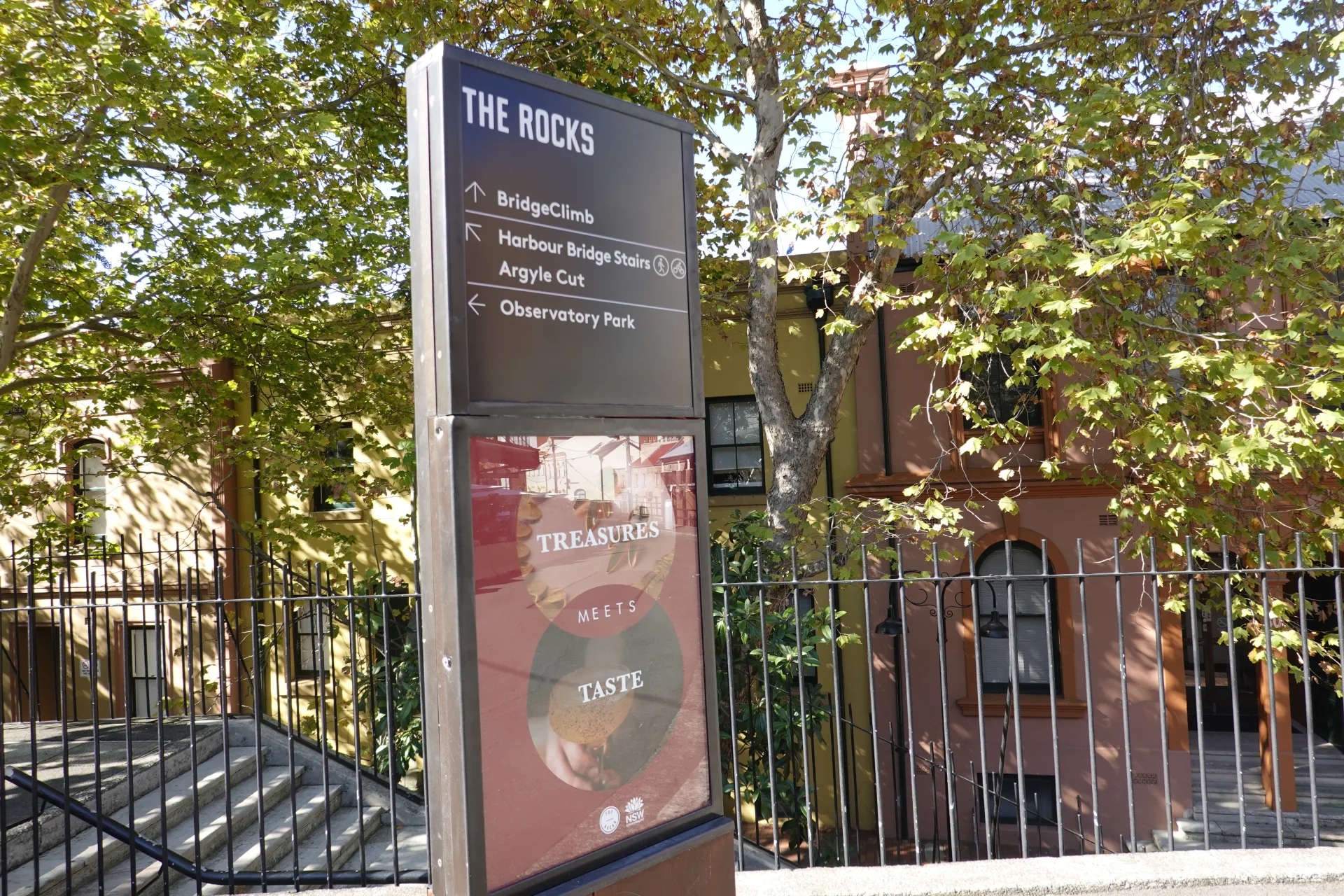
Signs pointed towards the main sights, but we did not follow a strict numbered route. We explored lanes that looked interesting and gradually moved downhill towards Circular Quay.
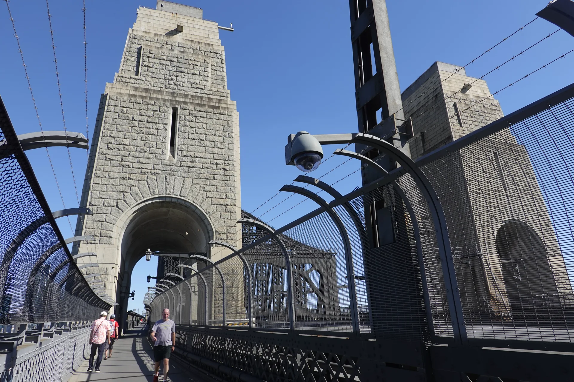
Our bridge guide explains the pedestrian entrances, lift and stair access, walking time and views. Combining both walks turned our return from the north shore into half a day of sightseeing.
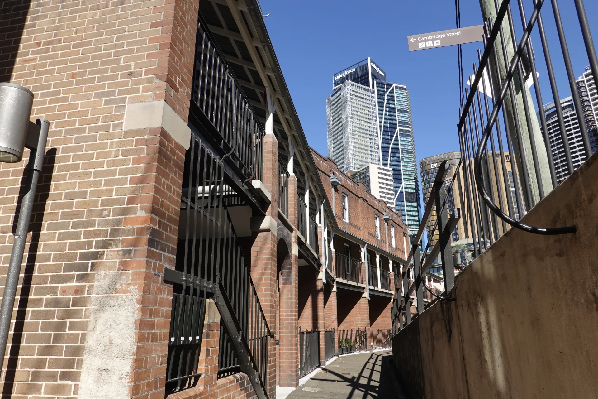
Some lanes were surprisingly quiet despite being almost beneath the bridge. Old brickwork, windows, paving and small changes in the walls became the reason to slow down.
Argyle Cut and the steep stone stairs
Argyle Cut is one of the clearest places to see how the precinct's sandstone ridge shaped its streets. The cutting links the harbour side of Argyle Street with Millers Point beneath tall rock walls.
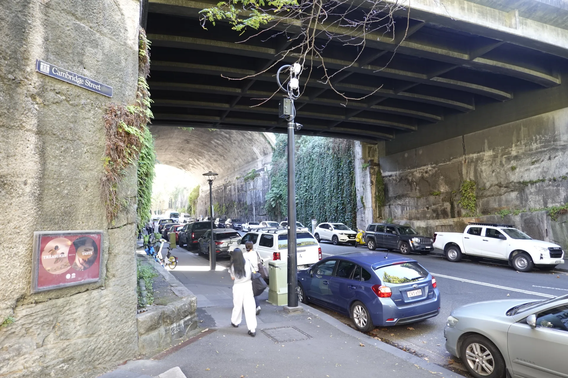
Convict chain gangs began cutting through the rock in 1842. Sydney City Council later took over the difficult work in 1859 and used explosives. Looking up from the road made the depth of the excavation much clearer than viewing it on a map.
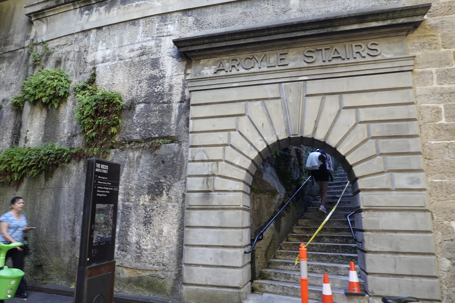
Stairs connect the lower streets with Cumberland Street and the bridge approaches. They are narrow and steep in places, so a flat route from Circular Quay will be more comfortable for anyone avoiding steps.
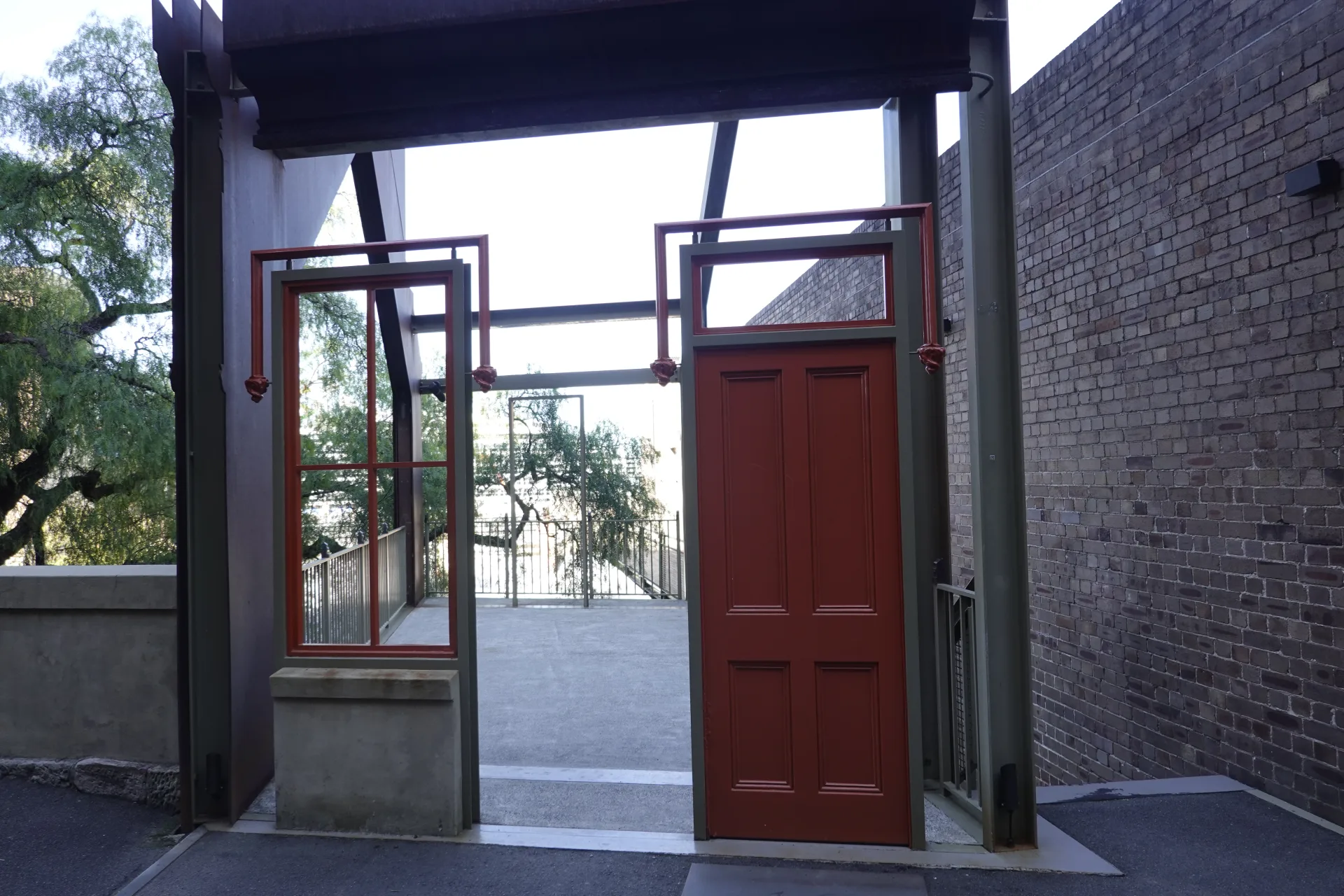
Contemporary artwork appeared between the old buildings too. The Rocks did not feel sealed as a historic display; shops, exhibitions and public spaces were still using the same lanes.
Foundation Park and rooftop views
Foundation Park preserves the foundations of small terrace houses built in the 1870s. Instead of reconstructing complete homes, the site lets visitors walk through the surviving outlines and see how limited each room was.
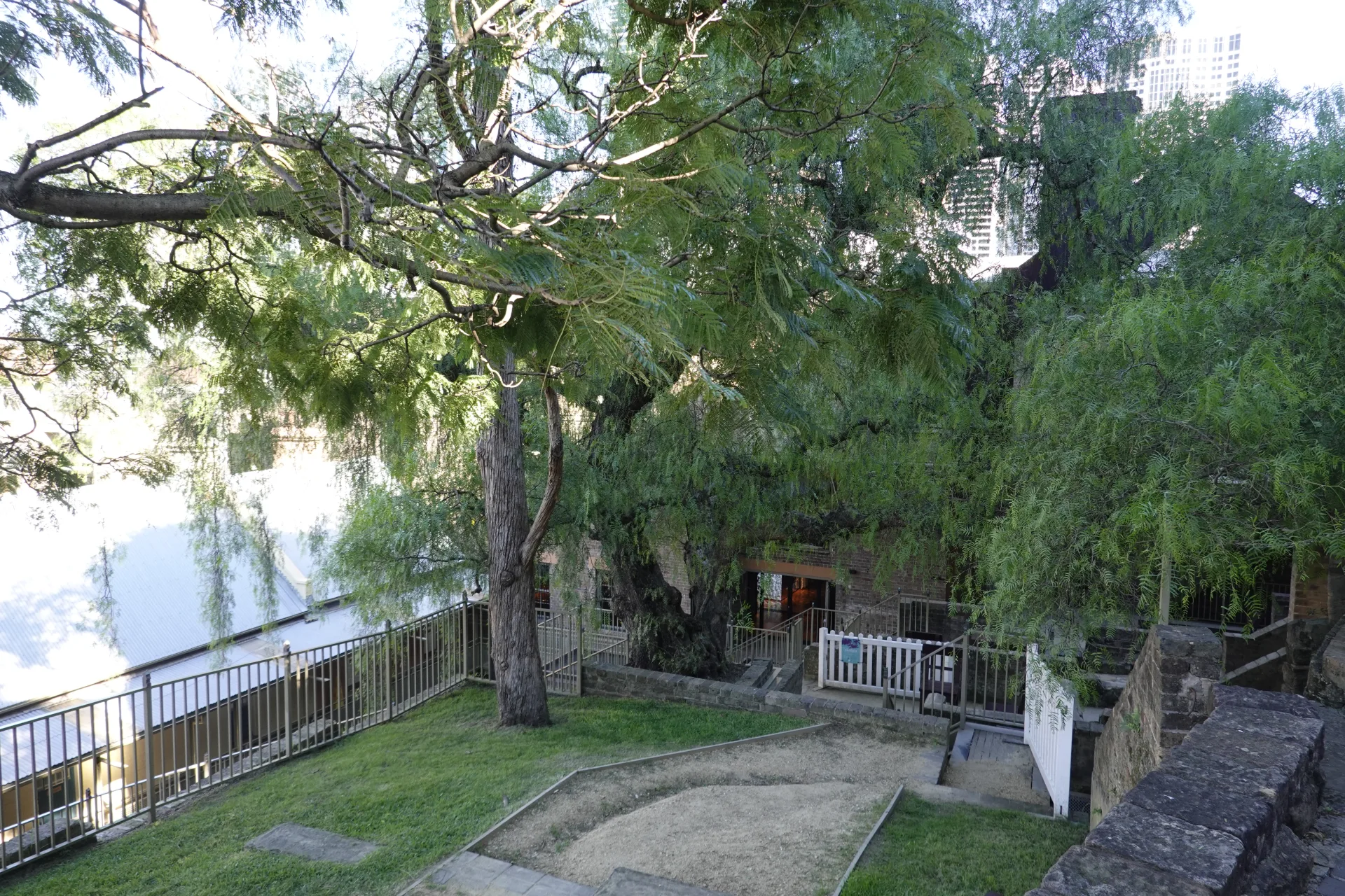
Room boundaries now form small outdoor compartments. Standing inside them gave us a stronger sense of the former living space than a written measurement would have done.
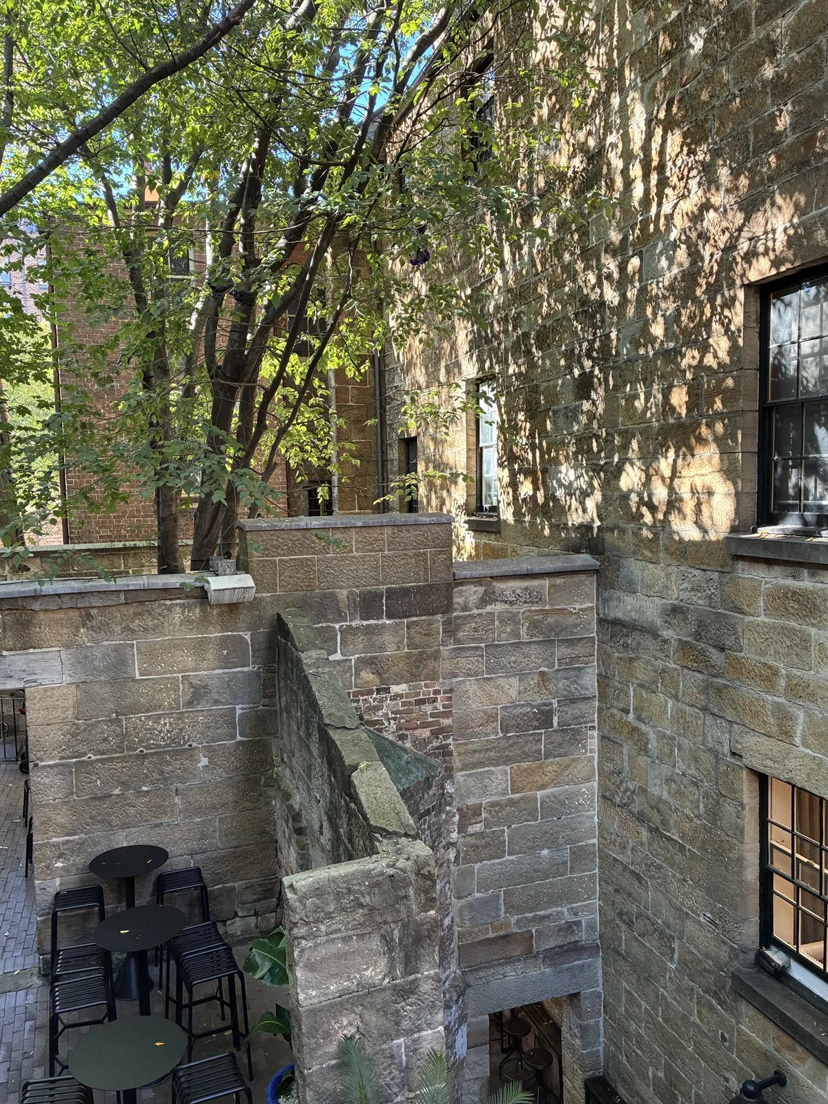
The sandstone changes colour and texture across the site. It feels less like a polished attraction and more like a fragment of domestic life held within the present-day city.
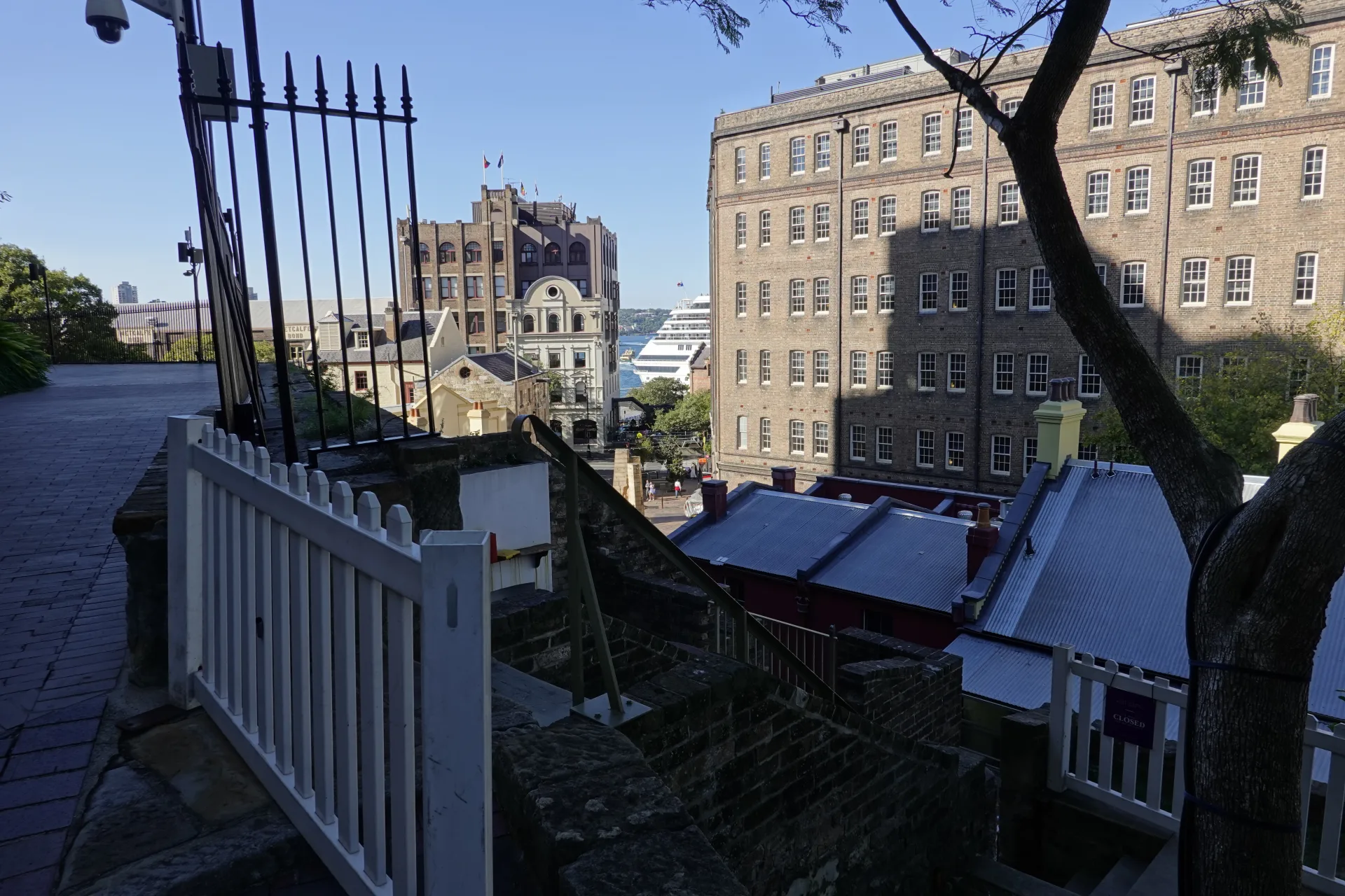
Higher paths around Gloucester Walk look across old rooftops towards modern towers. That overlap of different periods became one of our favourite views in The Rocks.
The history behind these streets
The Rocks stands on Tallawoladah, Gadigal Country. Its history did not begin with the arrival of the First Fleet in 1788; Gadigal people had long-standing cultural and material connections to Sydney Harbour before British colonisation transformed its western shore.
The exposed sandstone later gave the district its English name. Homes, warehouses, pubs and workshops developed around the port, often packed into narrow parcels of land.
The area was not preserved automatically. After the 1900 plague, government resumptions and redevelopment removed many buildings. A much larger high-rise redevelopment proposal in the 1970s threatened homes and the remaining streetscape.
Residents organised to protect their community and sought support from the NSW Builders Labourers Federation. The Green Bans delayed demolition and helped preserve both local housing and the physical character visitors see today.
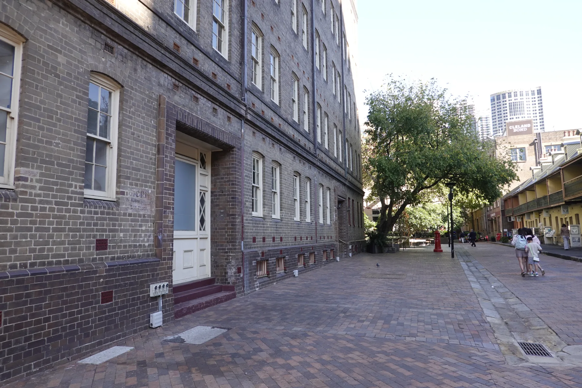
Jack Mundey was one prominent union leader in that movement, alongside residents and many other organisers. Jack Mundey Place records this history in the same part of the precinct where a 1973 confrontation over demolition drew wide attention.
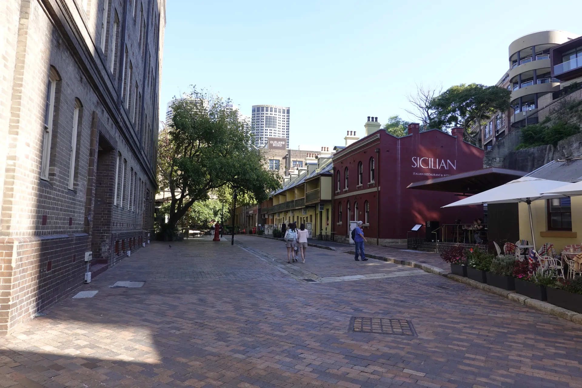
Knowing this background changed the walk for us. The irregular lots and old walls were not simply picturesque survivors; people had actively fought over who the city was for and what should remain.
Playfair Street, Suez Canal and the Discovery Museum
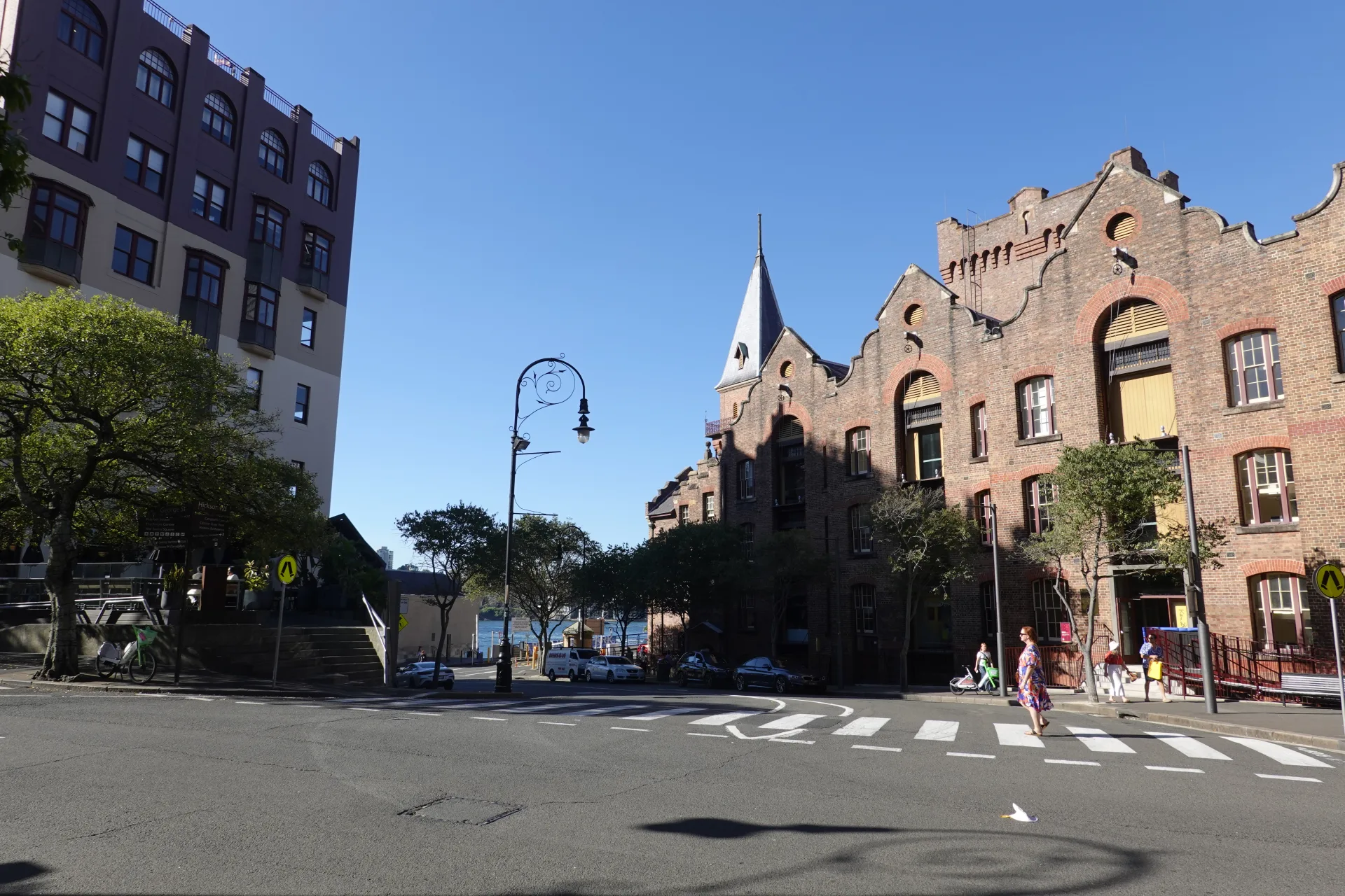
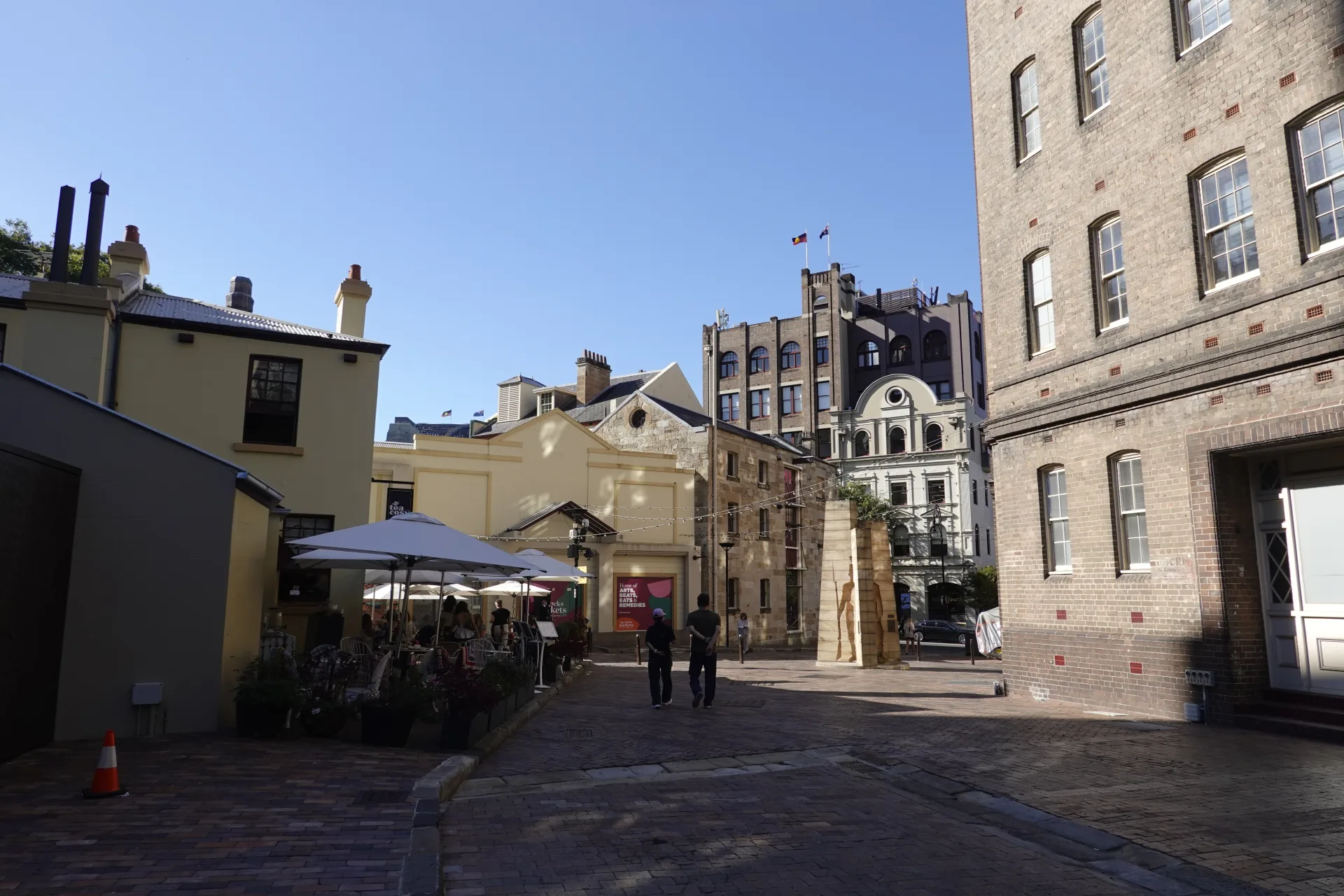
Playfair Street combines heritage façades with present-day shops and places to eat. We could enjoy the timber windows and stone walls without needing to enter every business.
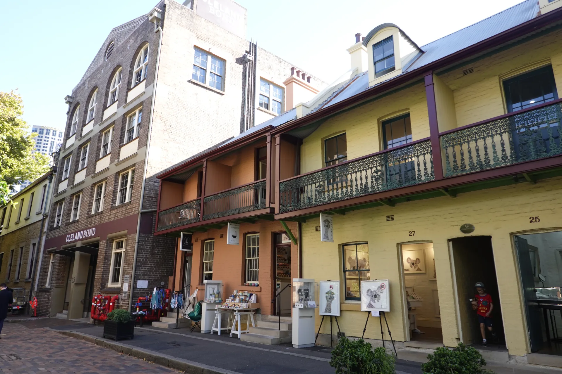
A short distance from the main road, tree shade and fewer vehicles made it easier to notice old signs, doorways and reused building details.
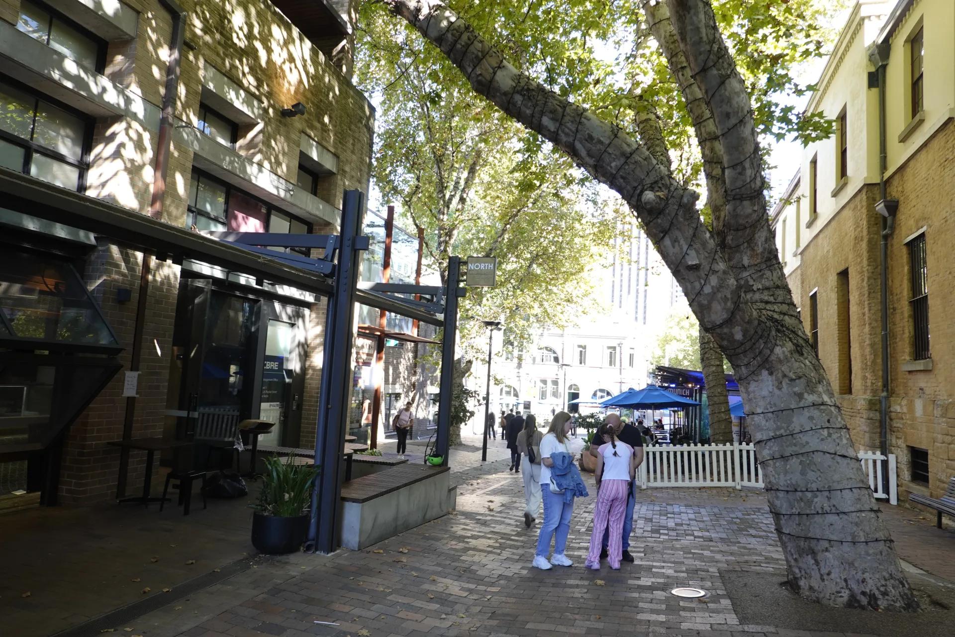
Suez Canal is far smaller than its name suggests. This narrow passage between buildings preserves the tight scale of the nineteenth-century port neighbourhood.
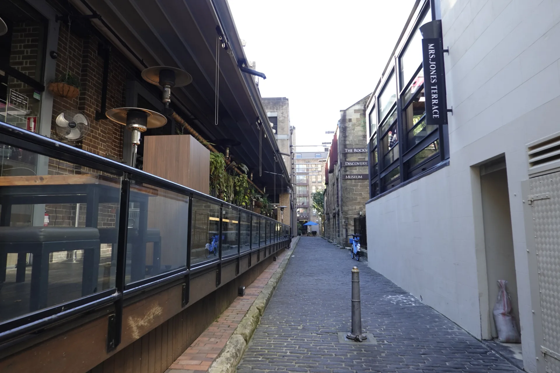
Nearby, The Rocks Discovery Museum tells the area's story from pre-European times to the present. It is housed in a restored sandstone warehouse on Kendall Lane and currently opens daily from 10am to 5pm, except Good Friday and Christmas Day.
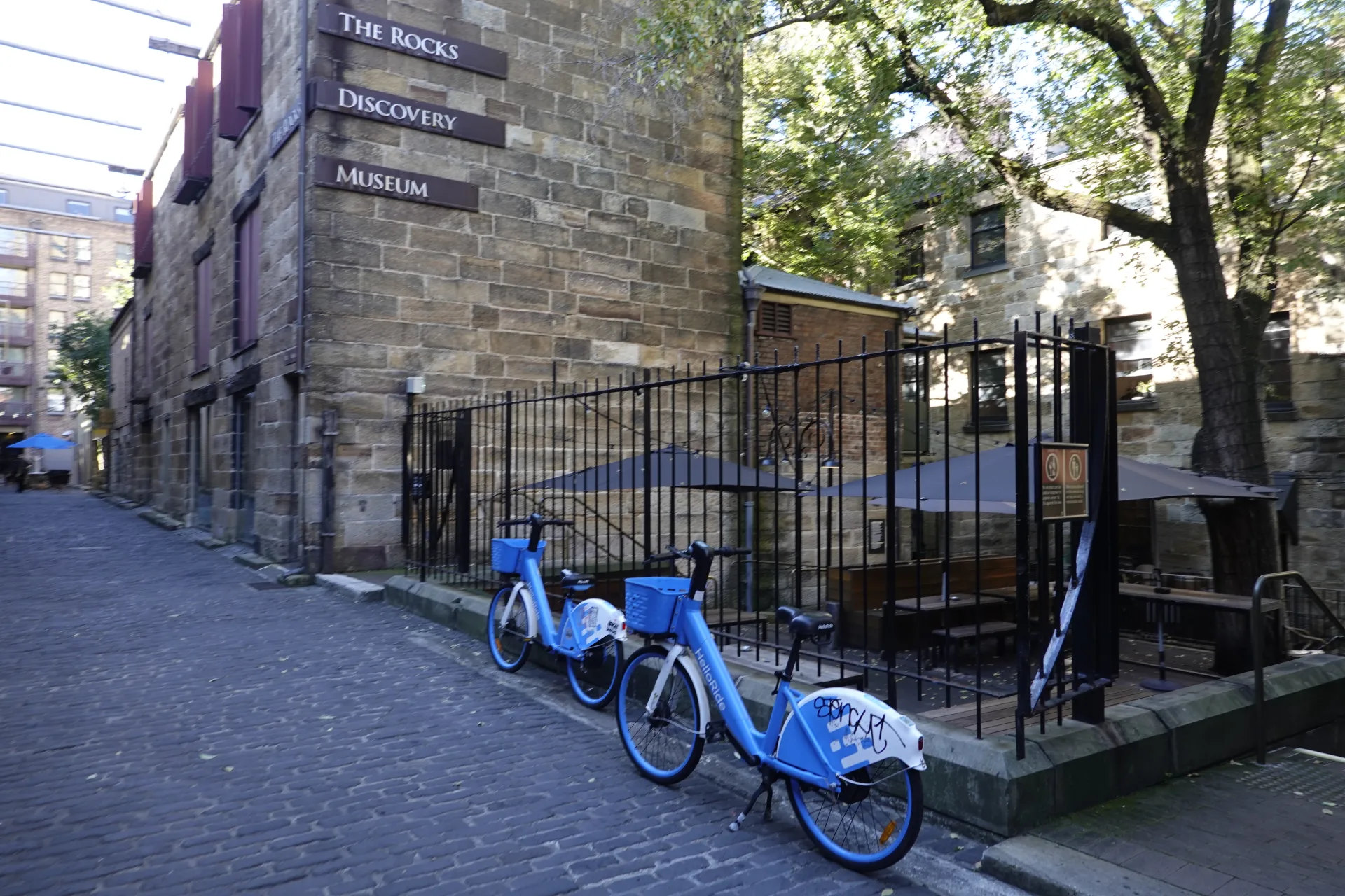
Entry is currently free. The ground floor is accessible, but the museum says its first floor is not accessible to wheelchair or stroller users. Check the official Discovery Museum page before visiting.
Courtyards and hidden passages
Some of the most memorable spaces were not visible from the main street. We checked open passages one by one and found small courtyards set behind the building fronts.
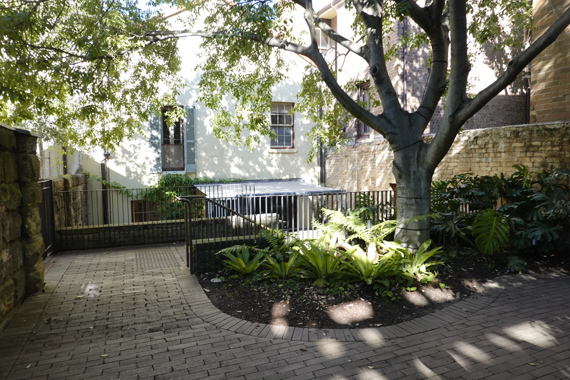
Plants and pale sandstone made this courtyard feel calmer than the nearby waterfront. It was a small contrast to the towers of central Sydney only a few blocks away.
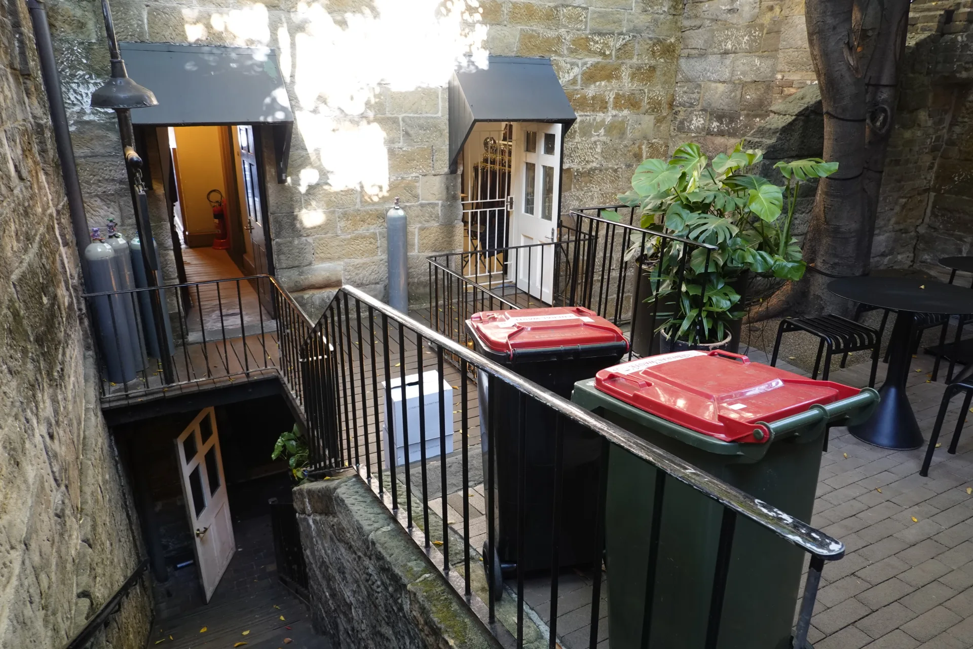
Stairs sometimes continued through what first looked like a dead end. The district is three-dimensional in a way a flat street map does not fully show.
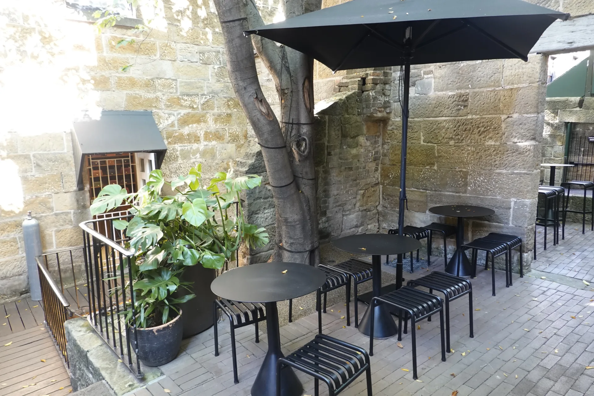
Several reused buildings contained cafes or seating. These quieter interiors offered an alternative to the busy waterfront when we needed a break.
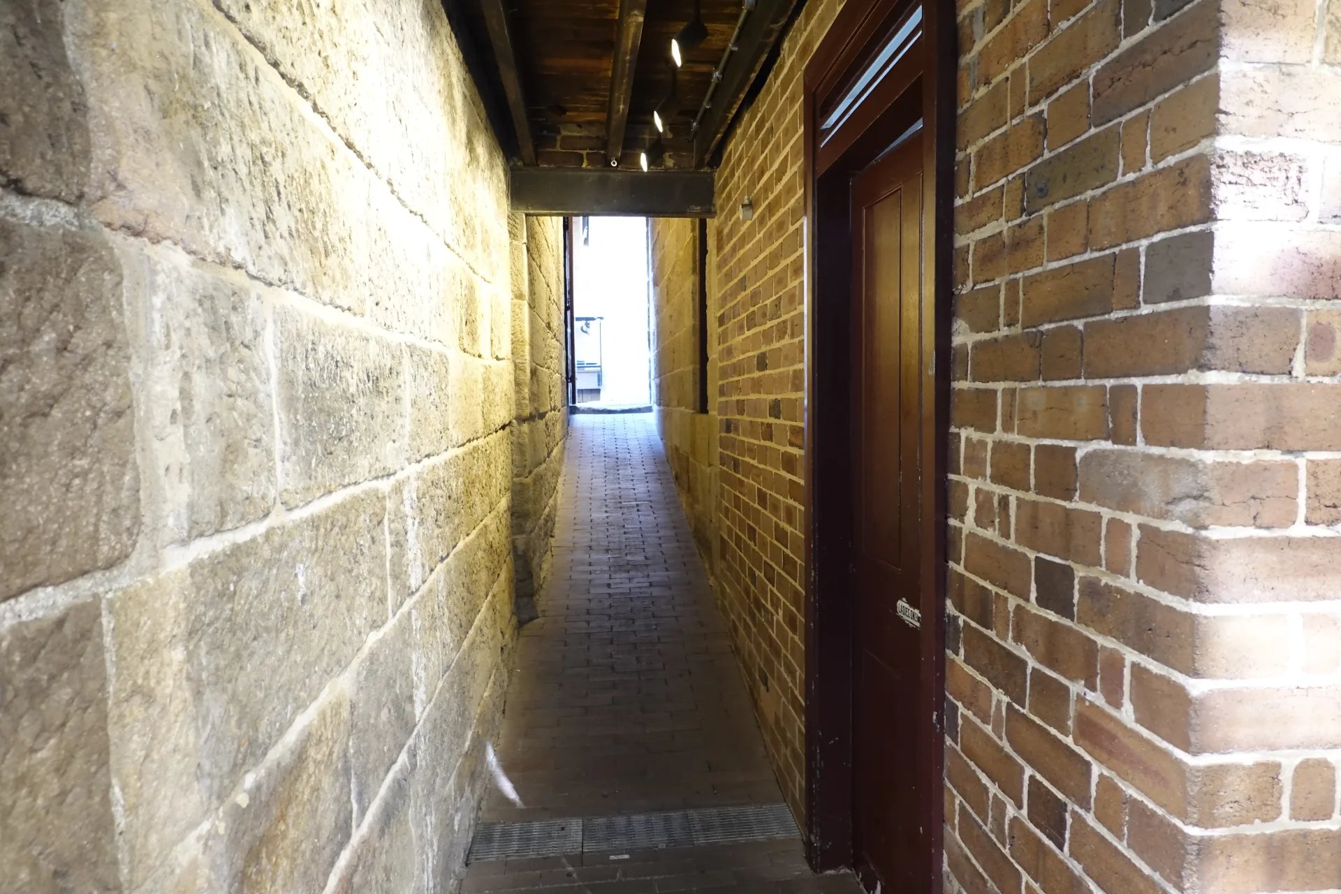
Changes from sandstone to brick showed where structures had been extended or adapted. The buildings had clearly served different needs over time rather than appearing all at once.
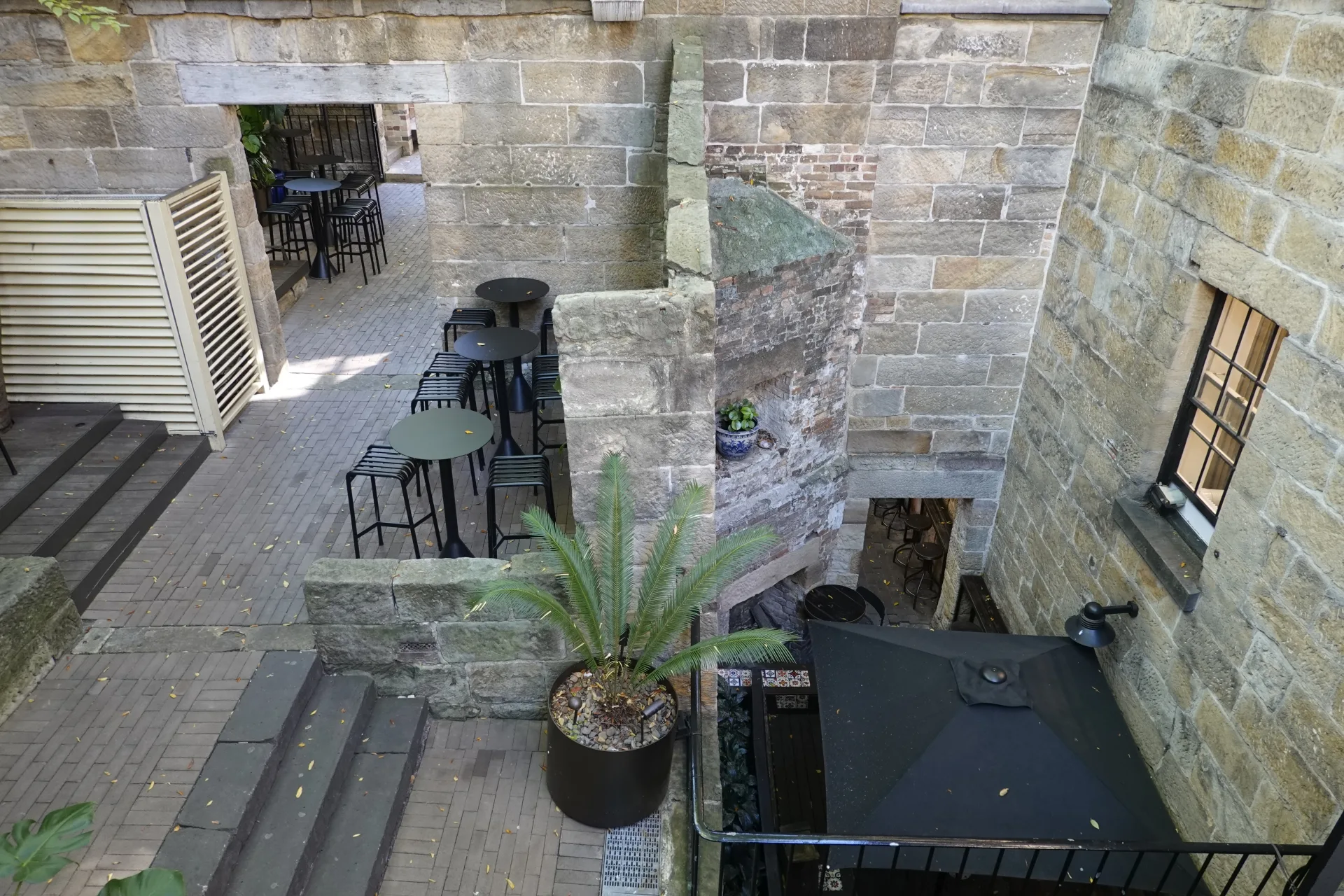
Tables filled another enclosed space at lunchtime. The Rocks has enough slopes and steps that pausing here can make a longer route more comfortable.
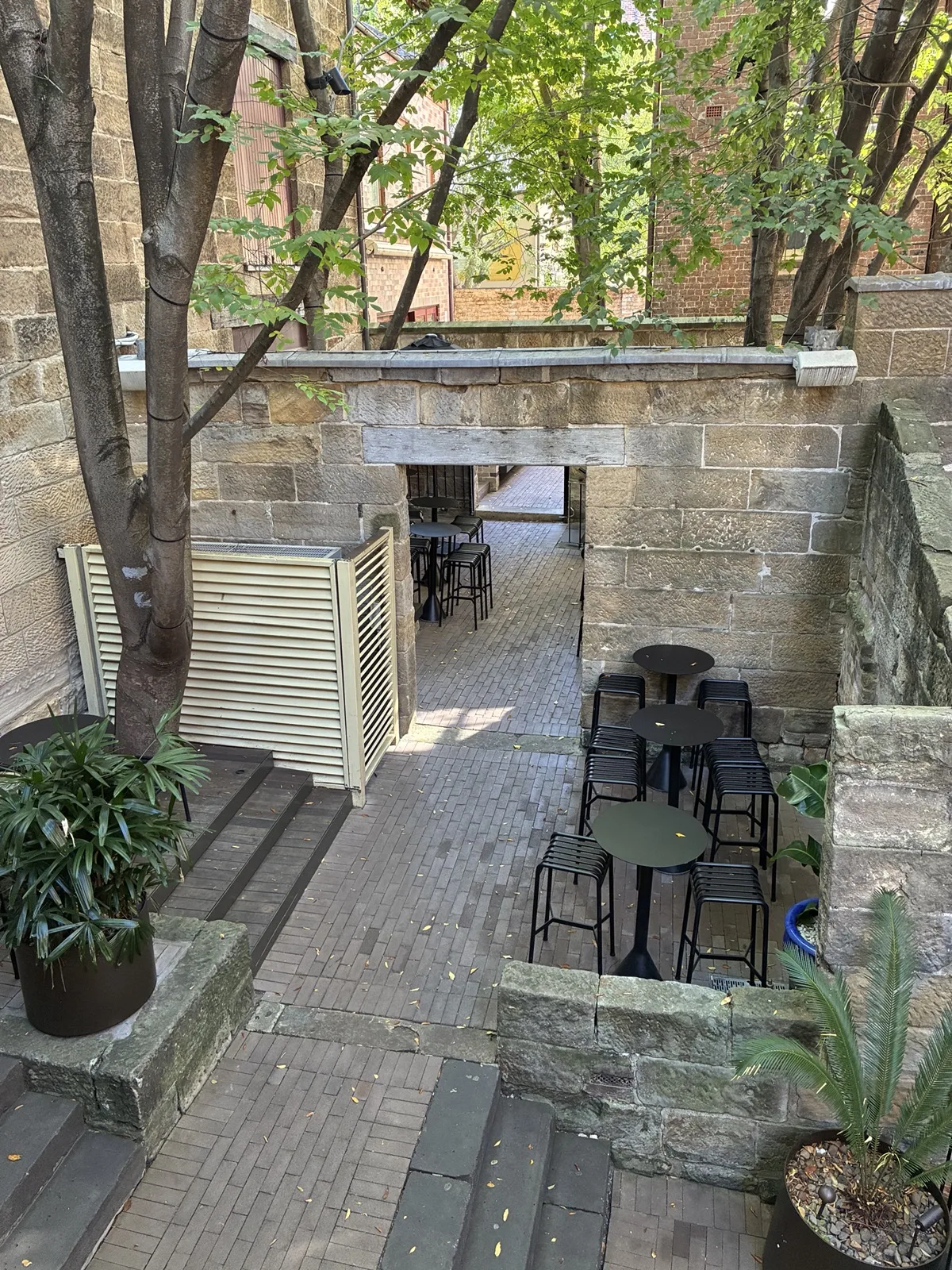
The narrow proportions made the height of the surrounding walls more obvious. Sunlight reached different parts of the passage as we moved through it.
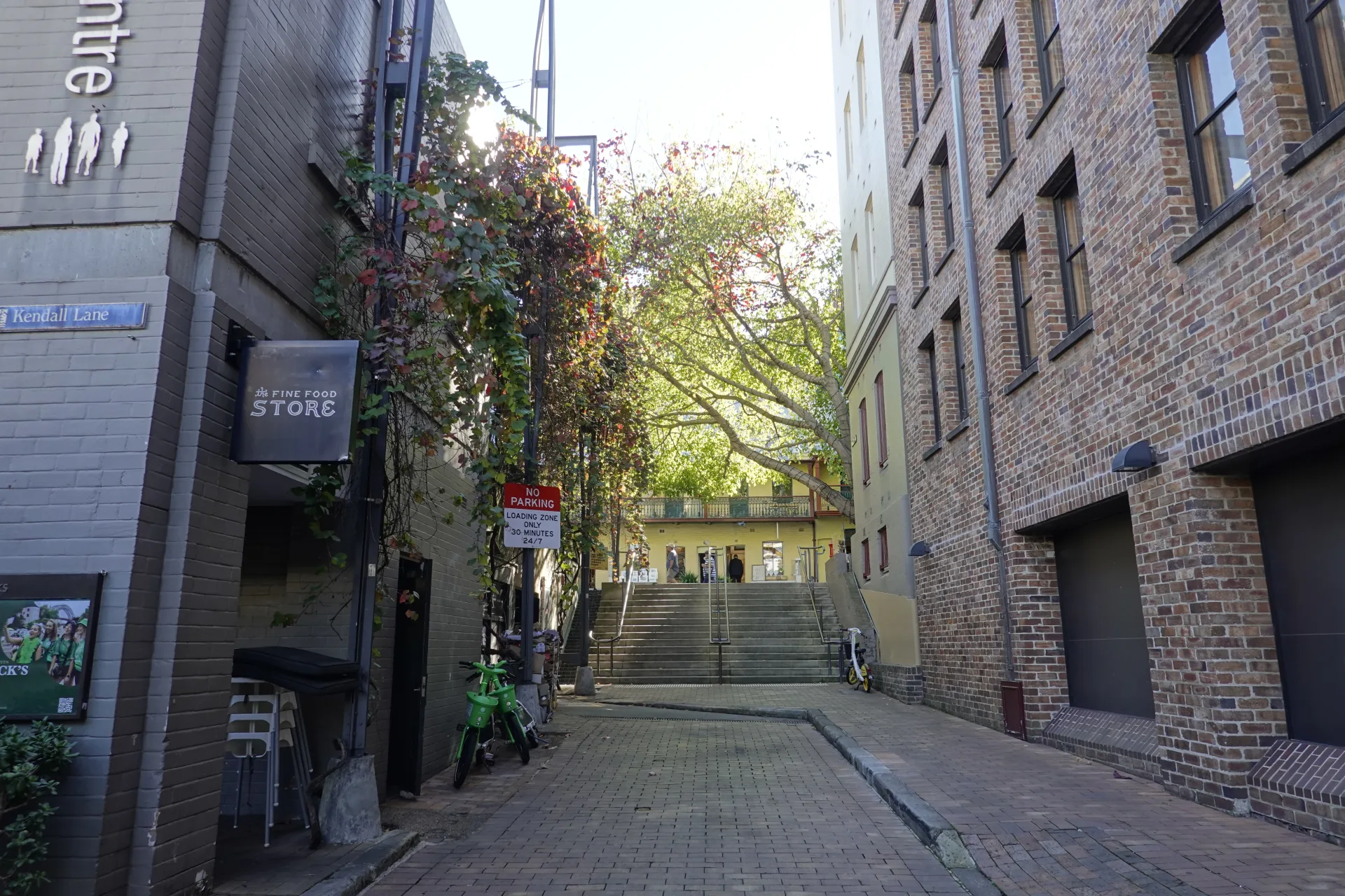
Kendall Lane continued the same pattern of small turns, stone surfaces and connections between larger streets.
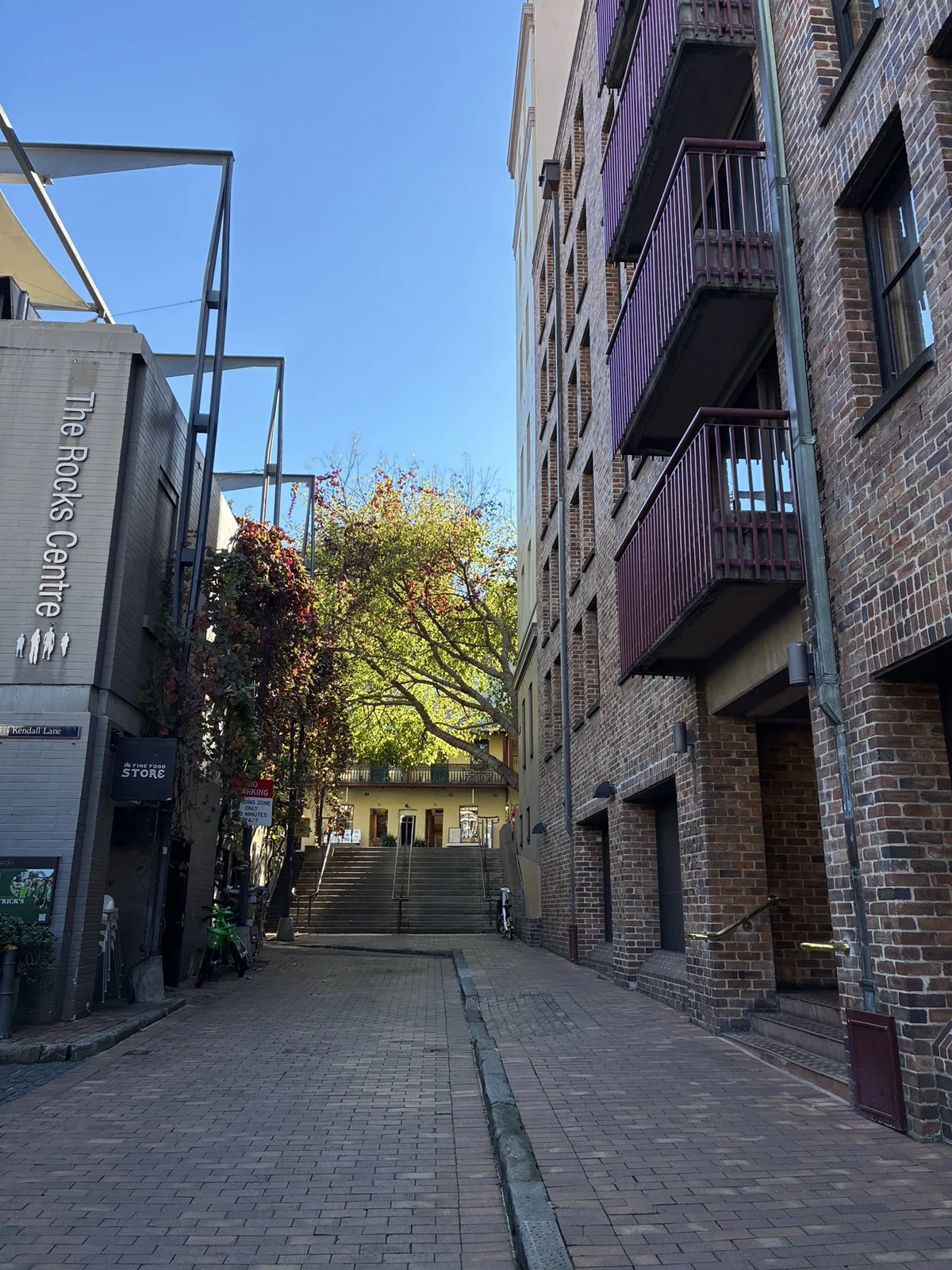
Some lanes lead to shops, homes or private entrances. We stayed in clearly open public passages and avoided blocking doors while taking photographs.
Cadmans Cottage and the waterfront
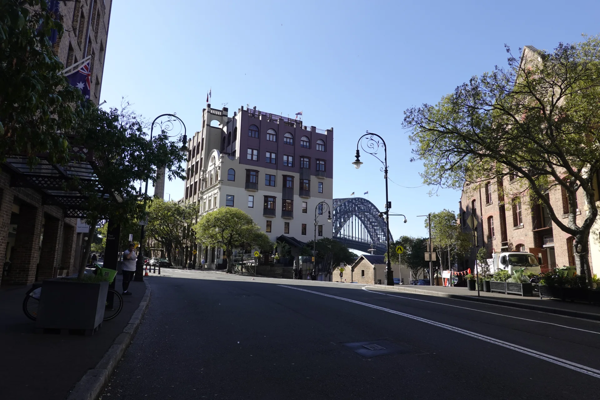
As we descended towards the harbour, the view shifted from close-set lanes to larger buildings along Hickson Road and Circular Quay West.
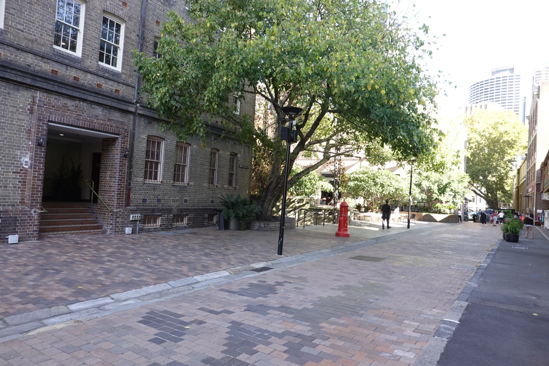
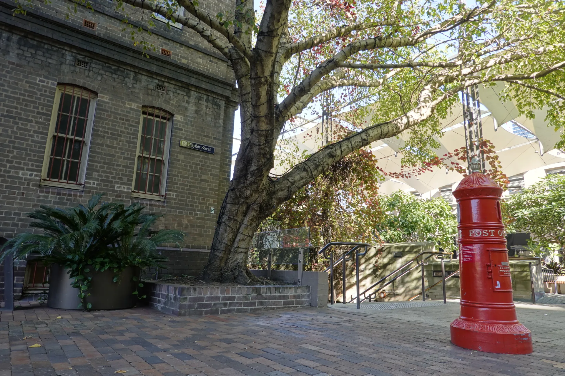
A traditional red post box stood naturally against the stone. Details like this made the walk rewarding even between named landmarks.
Cadmans Cottage was built in 1816 and is one of the few Sydney buildings remaining from the first 30 years of the colony. It has served as a coxswains' residence, water-police station and sailors' home.
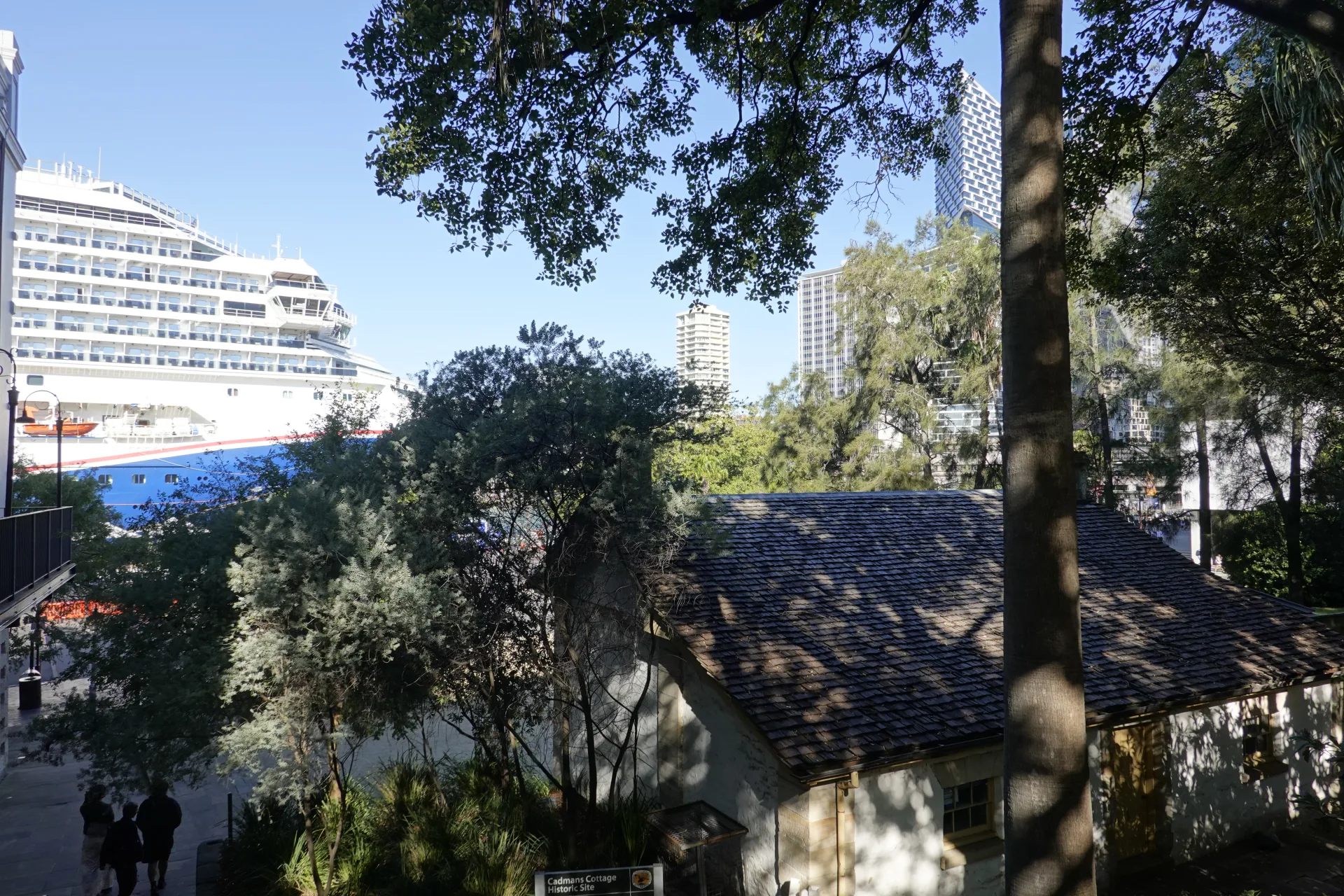
The cottage originally stood close to the water. Reclamation around Circular Quay moved the present shoreline roughly 100 metres away, which explains why the small building now appears inland.
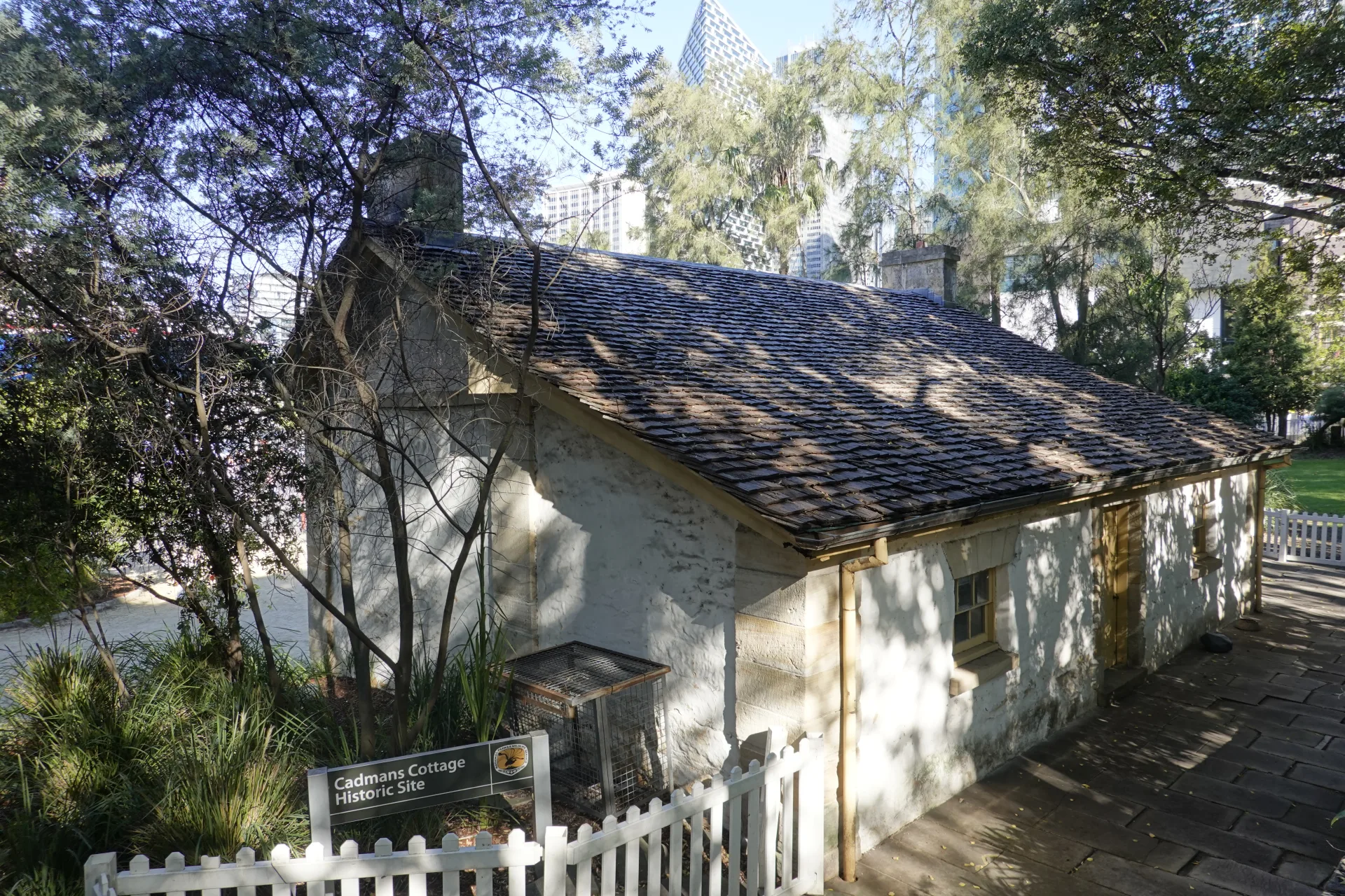
Its lawn also gave us a welcome flat pause after the higher streets. From here, the station, ferry wharves and lower George Street were close.
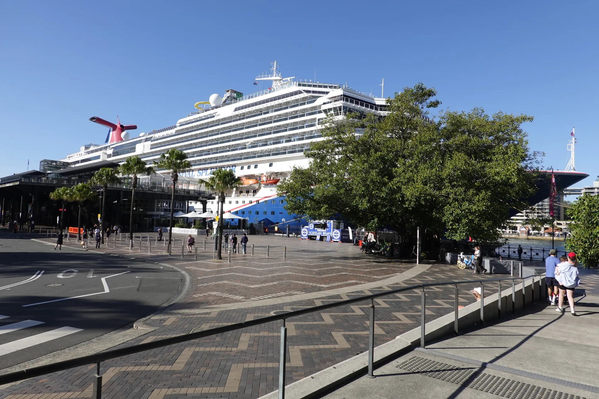
The Overseas Passenger Terminal can make the precinct much busier when a large ship is in port. Our Sydney Harbour sightseeing cruise review shows the same shoreline, bridge and nearby landmarks from the water.
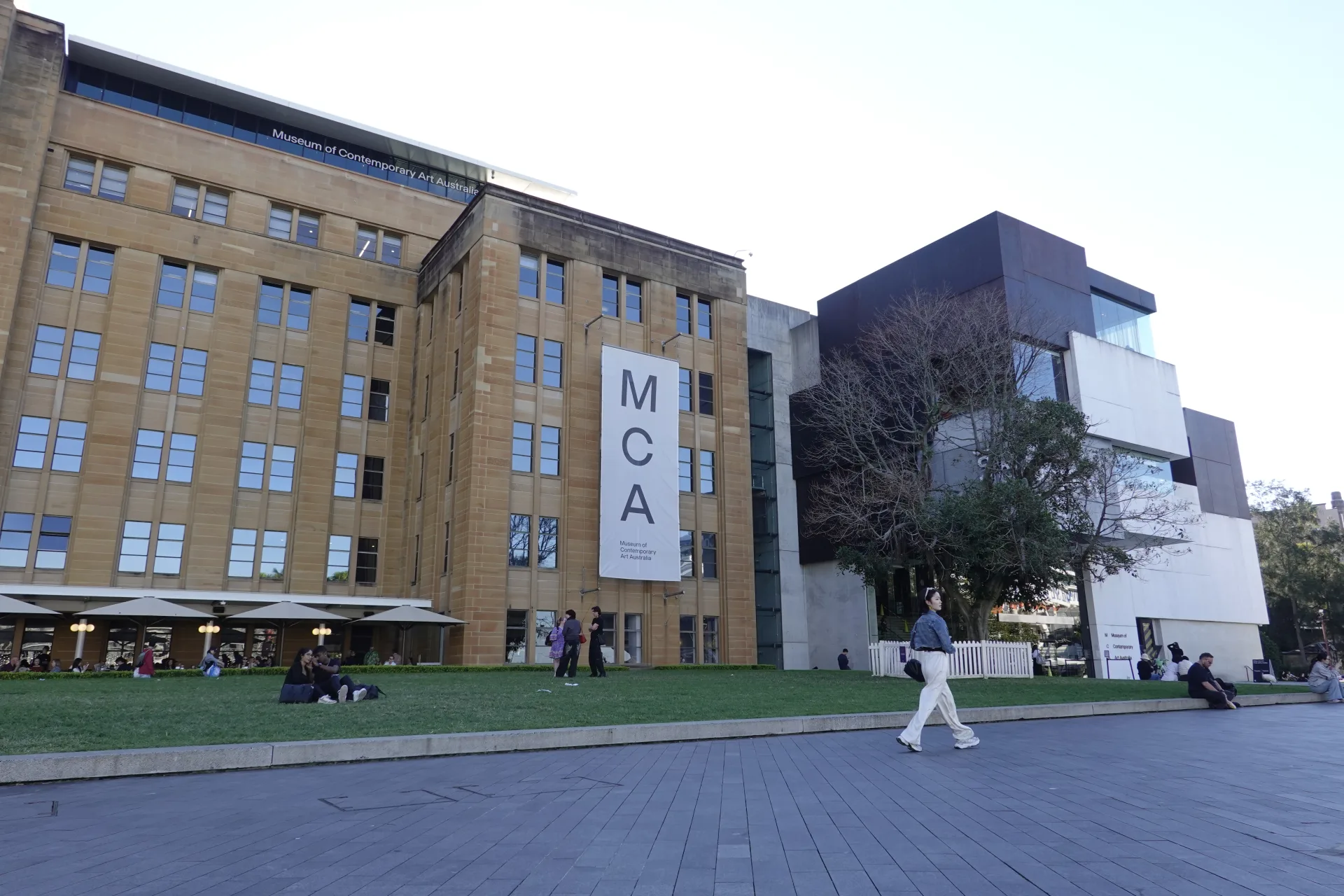
We finished outside the Museum of Contemporary Art Australia. Its galleries and Level 4 harbour views made a natural indoor continuation of the walk.
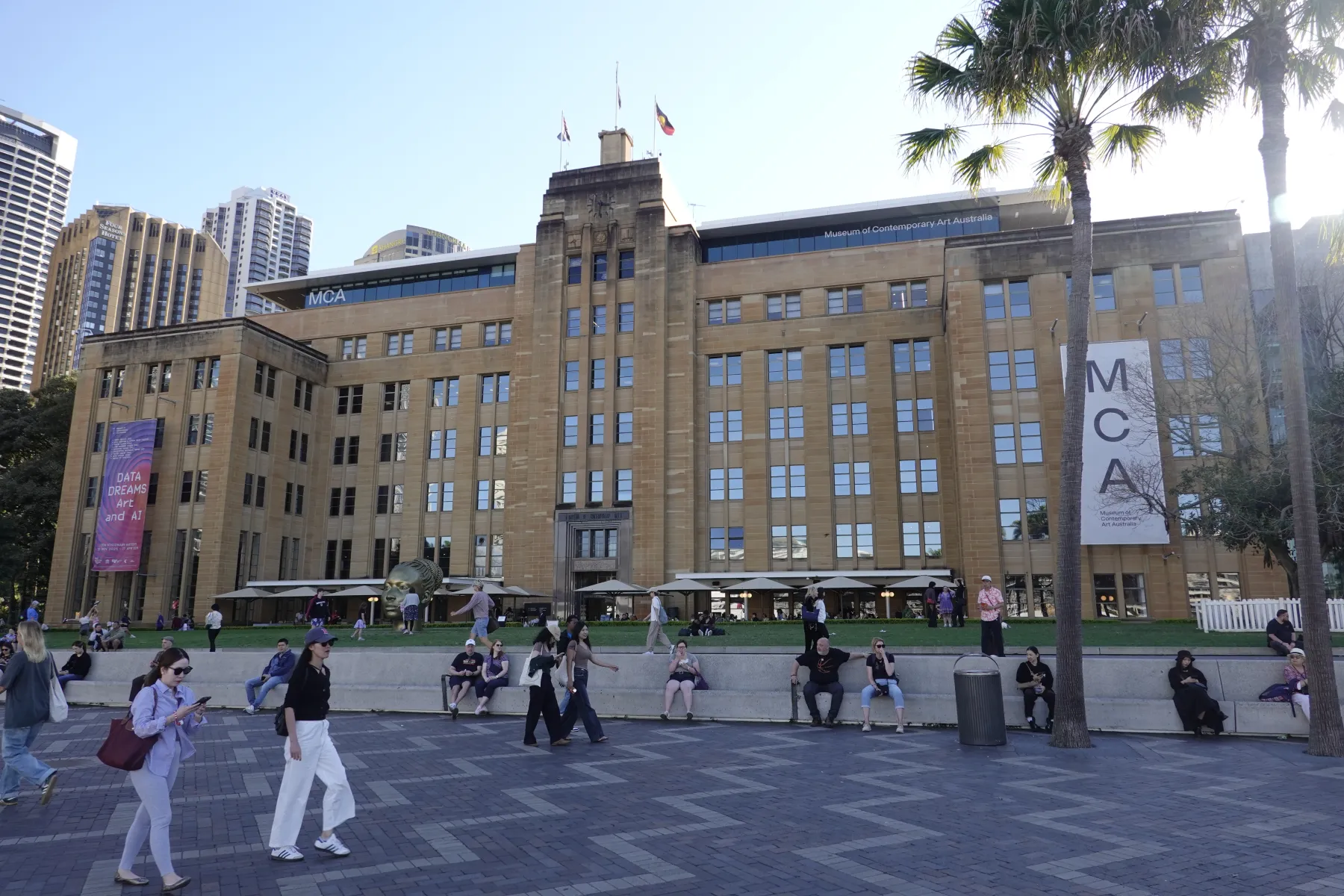
The museum guide separates our April 2026 visit from its current ticket and opening information. Circular Quay and the walk towards the Opera House begin just beyond it.
Getting to The Rocks and how long to allow
The simplest arrival point is Circular Quay. The Rocks' official visitor site describes the precinct as a two-minute walk from the station, bus stops, ferry wharves and light rail.
- Circular Quay: approximately two minutes on foot.
- Wynyard Station: approximately ten minutes north along George Street.
- North shore: cross Sydney Harbour Bridge on the pedestrian path and descend into The Rocks.
- Darling Harbour: approach by Hickson Road or through Millers Point.
Use the official directions to The Rocks for current public-transport information, and check the precinct on Google Maps.
One hour is enough for a direct route through the main streets. Allow around two hours for Argyle Cut, Foundation Park, lanes and courtyards. A museum visit, weekend market, meal or pub stop can turn it into a half-day.
The precinct has steep grades, cobbled surfaces and many stairs. A lower route from Circular Quay reduces climbing, while our bridge-to-harbour direction gradually loses elevation.
A guided bike tour through The Rocks and across the bridge
Walking gave us time to examine individual lanes, but travellers who want to cover both sides of the harbour can consider GetYourGuide's English-guided Sydney Harbour Bridge bicycle ride. It starts in The Rocks and continues through Kirribilli, Luna Park and Lavender Bay. We did not take this tour, so treat it as an option to compare rather than a first-hand review.
The listing currently includes historic lanes in The Rocks, Sydney Harbour Bridge, the north shore, Luna Park and Lavender Bay, with bicycle rental, a guide and lunch. It also says at least two guests are required for departure.
KKday's summary currently shows a five-hour duration while its description calls it a four-hour tour. Confirm the selected package, meeting point, language, physical requirements and final duration before booking.
You can preview two of the route's stops in our Milsons Point and Bradfield Park guide and Luna Park Sydney guide.
Check the English-guided bike tourPractical tips for walking The Rocks
- Wear shoes that handle cobbles, steep slopes and stairs.
- Use the lower streets from Circular Quay if you need to reduce climbing.
- Do not enter private doorways or passages that are not clearly open.
- Keep shop entrances and residential access clear when taking photographs.
- Expect larger crowds during the weekend market and cruise-ship calls.
- Carry water, sunscreen and a hat on hot or bright days.
The direction of the walk changes how tiring it feels. Starting near Harbour Bridge let us descend gradually towards the harbour, while a Circular Quay start would involve more uphill sections to reach the same high lanes.
Protect prepaid walking activities
For a paid tour, confirm weather, cancellation and activity conditions before booking. The travel insurance guide for Australia lists the policy terms worth checking.
Frequently asked questions
How do you get to The Rocks in Sydney?
The Rocks is approximately a two-minute walk from Circular Quay and a ten-minute walk north along George Street from Wynyard Station. You can also walk across Sydney Harbour Bridge from the north shore and descend into the precinct.
How long do you need to explore The Rocks?
Allow about one hour for a direct walk through the main streets, or around two hours for Argyle Cut, Foundation Park, laneways and courtyards. Add more time for the weekend market, The Rocks Discovery Museum, food or a pub stop.
Is The Rocks free to visit?
Yes. Walking through the streets, lanes and public spaces of The Rocks is free. The Rocks Discovery Museum also currently offers free entry, while tours, food, shopping and some attractions cost extra.
What should you see in The Rocks?
A compact route can include Argyle Cut, Foundation Park, Playfair Street, Suez Canal, Kendall Lane and Cadmans Cottage before finishing beside MCA Australia and Circular Quay.
Summary
Our walk descended from Sydney Harbour Bridge through Argyle Cut, Foundation Park, narrow passages and courtyards before reaching Cadmans Cottage and MCA Australia. Sandstone, brick and changing elevation made even the short connections worth noticing.
The Rocks is close enough to Circular Quay for a one-hour walk, but two hours lets you stop in the smaller lanes and courtyards without rushing. Understanding Tallawoladah, the working port and the Green Bans also adds meaning beyond the preserved façades.